|
|
![]() |
|
Navigation
LakesnWoods.com
|
|
|||||
|
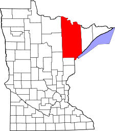
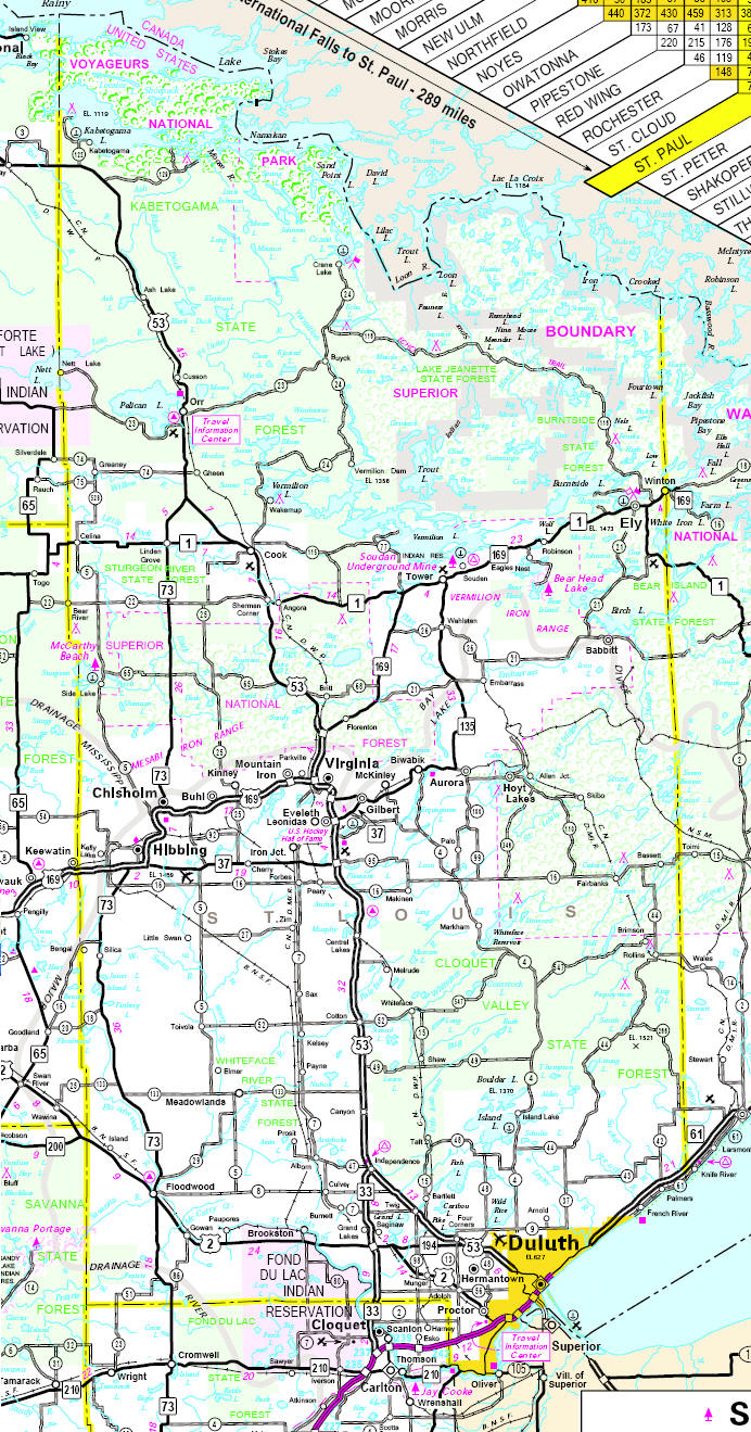
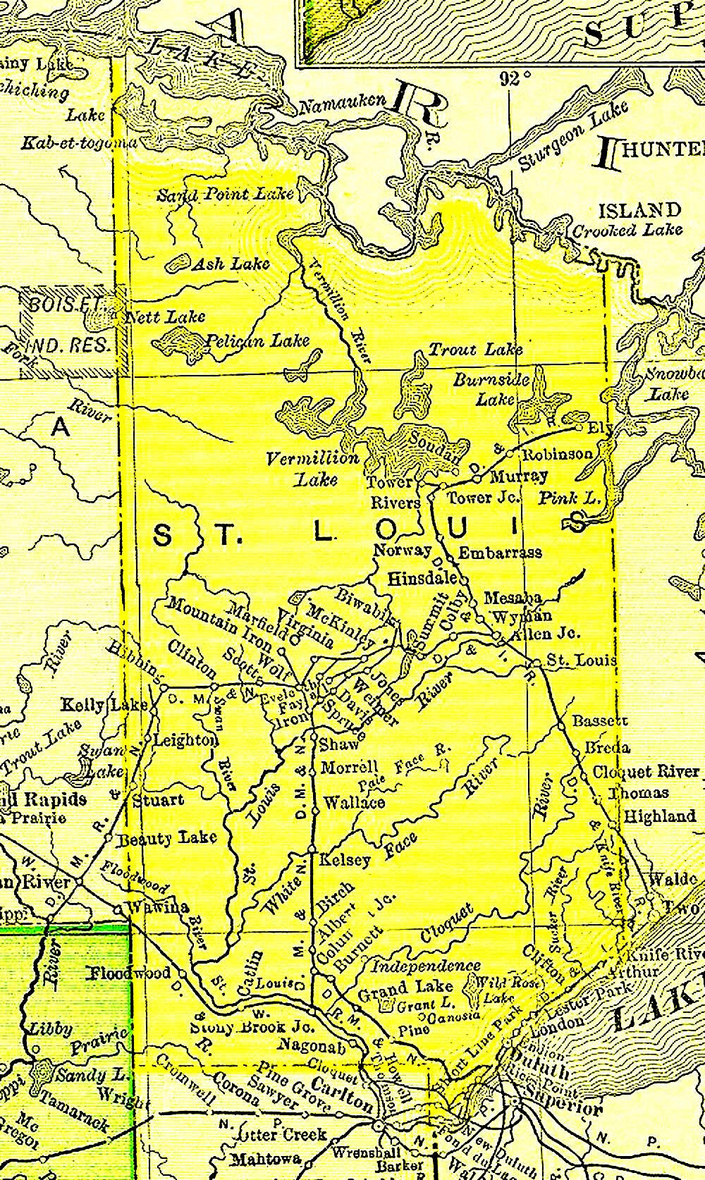
St. Louis County is a county located in the U.S. state of Minnesota. As of 2000, the population was 200,528. Its county seat is Duluth. It is the largest county in Minnesota, and the second largest in the United States east of the Mississippi River; Aroostook County, Maine, is the largest. Major industries include pulpwood production and tourism. At one time, taconite mining was a major part of the economy. Parts of the Bois Forte and Fond du Lac Indian reservations are in the county.
|
|
| St. Louis County was founded on February 20, 1855 as Doty County and had its name changed to Newton County on March 3, 1855. On March 1, 1856, St. Louis County to the east became Lake County while Newton County was renamed St. Louis County. Originally Doty County and Newton County consisted of the area east and south of the St. Louis River. The area east of Vermilion River and north of St. Louis River was part of Superior County (which then became St. Louis County, and then Lake County). Upon establishment of this St. Louis County, these two areas were merged, then expanded westward by incorporating parts of Itasca County, which then also included most of Carlton County. On May 23, 1857 St. Louis County took its current shape when Carlton County was formed from St. Louis and Pine Counties. | |
Saint Louis County Communities
Minnesota State Highway Map
1895 Map of Saint Louis County
|
|
|
|
||||||||||||
|
|
||||||||||||
|
|
© 2004
Lakeweb1 Internet Services All Rights Reserved |
|||||||||||
|
|
||||||||||||