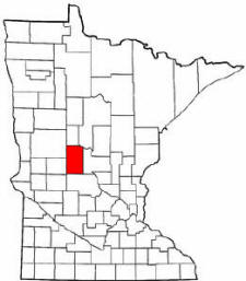
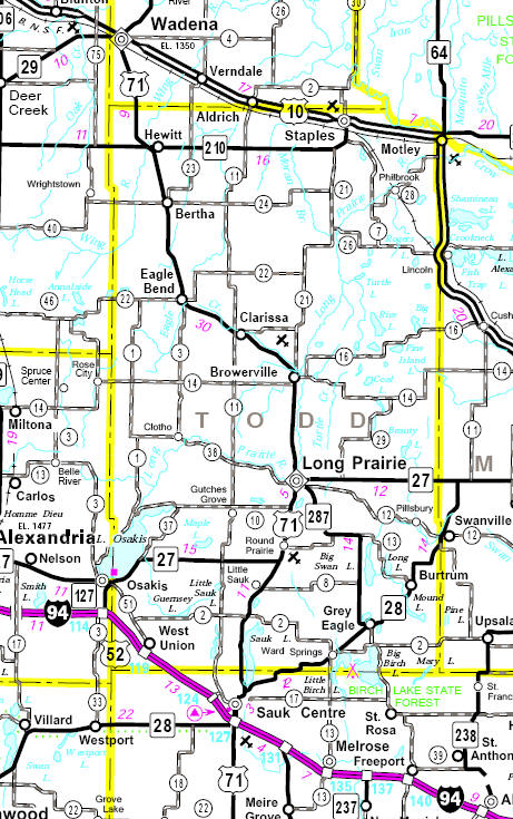
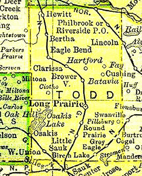
Todd County is a county in the U.S. state of Minnesota. As of the 2010 census, the population was 24,895. Its county seat is Long Prairie. The county is named after John Blair Smith Todd, who was a delegate from Dakota Territory to the United States House of Representatives, a general in the Union Army during the American Civil War and a cousin of Mary Todd Lincoln, the wife of Abraham Lincoln.
Todd County has a total area of 979.34 square miles (2,536.5 km2), of which 942.02 square miles (2,439.8 km2) (or 96.19%) is land and 37.32 square miles (96.7 km2) (or 3.81%) is water.
Todd County has a total area of 979.34 square miles (2,536.5 km2), of which 942.02 square miles (2,439.8 km2) (or 96.19%) is land and 37.32 square miles (96.7 km2) (or 3.81%) is water.