|
Navigation
LakesnWoods.com
Home
Page
Contact Us
Privacy
Minnesota History Shop
Visit The Minnesota History Shop
www.minnesotahistoryshop.com
Historic maps
Historic books
Historic framed art
Historic
postcards
Clothing with historic
images
And much more!!! |
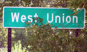
West Union Guide:
Photo Gallery
Location
Geography
Demographics
History
Government
Post Office
News
Weather
Street Map
Events
Attractions
Recreation
Lakes
Health Care
Schools
Churches
Media
Motels
Resorts
Campgrounds
Businesses
Aerial Photo
Topographic Map © 2004-2024
LakesnWoods LLC
All Rights Reserved
DCMA, Defamation, Copyright and Trademark Infingement Policy
|
WANTED! Do you have photos, historical accounts or
other items pertaining to the West Union area? Would you like to
share this historical information with the world?
LakesnWoods.com would like to publish your West Union photos
(current or historical) or historical accounts on this website.
Original materials can be returned and your privacy will be
respected.
Contact us |
|
West Union Minnesota Community Guide
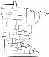
Location:
Population:
| West Union (city) |
1970 |
1980 |
1990 |
2000 |
2010 |
2000-2010
Change |
| Actual |
Percent |
| Population |
71 |
74 |
54 |
87 |
111 |
+24 |
+27.59 |
| Land Area (sq. mile) |
0.30 |
0.33 |
0.34 |
0.34 |
0.34 |
0 |
0.00 |
| Density (persons per sq. mile) |
236.67 |
224.24 |
158.82 |
252.80 |
326.47 |
+73.67 |
+29.14 |
| Housing Units |
32 |
36 |
25 |
32 |
43 |
+11 |
+34.38 |
| Households |
-- |
34 |
22 |
31 |
42 |
+11 |
+35.48 |
| Persons Per Household |
-- |
2.18 |
2.45 |
2.81 |
2.64 |
-0.17 |
-6.05 |
Geography:
West Union is a city in Todd County, Minnesota.
Interstate 94 serves as a main route in the community. According to the
United States Census Bureau, the city has a total area of 0.42 square
miles (1.09 km2), all of it land. The elevation is 1,339 ft (408 m) above
sea level.
From
Wikipedia, the free
encyclopedia.
Demographics:
As of the census of 2010, there were
111 people, 42 households, and 31
families residing in the city. The
population density was 264.3 inhabitants
per square mile (102.0/km2). There were
43 housing units at an average density
of 102.4 per square mile (39.5/km2). The
racial makeup of the city was 99.1%
White and 0.9% from two or more races.
There were 42 households of which
35.7% had children under the age of 18
living with them, 54.8% were married
couples living together, 9.5% had a
female householder with no husband
present, 9.5% had a male householder
with no wife present, and 26.2% were
non-families. 23.8% of all households
were made up of individuals and 4.8% had
someone living alone who was 65 years of
age or older. The average household size
was 2.64 and the average family size was
3.10.
The median age in the city was 35.8
years. 24.3% of residents were under the
age of 18; 12.6% were between the ages
of 18 and 24; 20.7% were from 25 to 44;
33.3% were from 45 to 64; and 9% were 65
years of age or older. The gender makeup
of the city was 51.4% male and 48.6%
female.
History:
WEST UNION Township was organized March 12, 1867; its
city, platted in June 1881, was incorporated in 1900; the townsite was
platted on land first owned by Joel Myers; the post office operated
1860-61 and since 1872; it had a station of the Great Northern Railway
in section 21. Courtesy
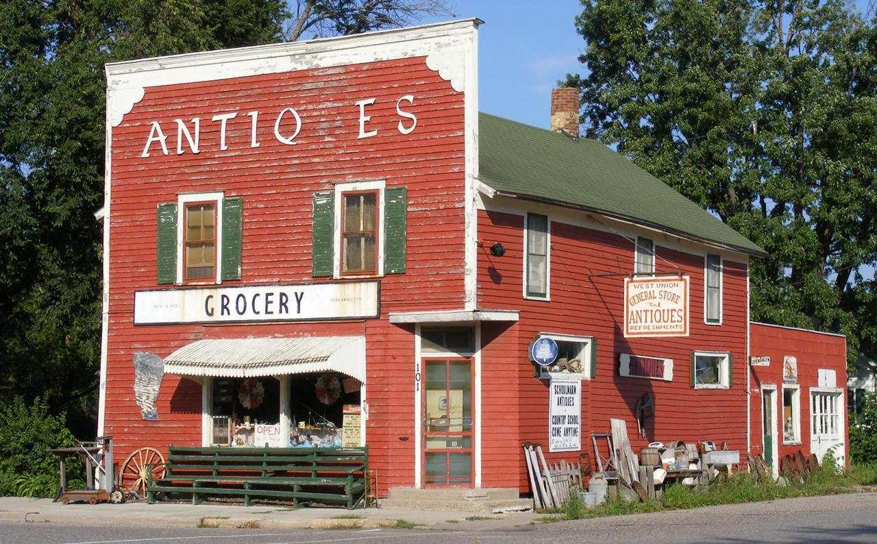
Minnesota Historical Society

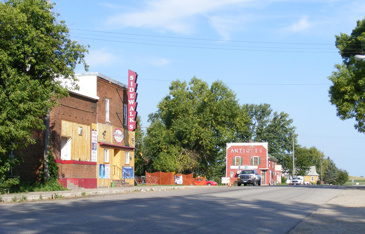
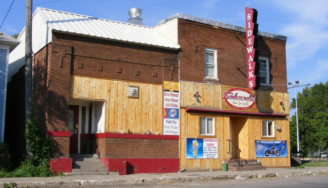
Street scene,
West Union Minnesota, 2008
LakesnWoods.com Photo - click image to
enlarge
Visit The West Union Photo
Gallery for more recent and historic area photos
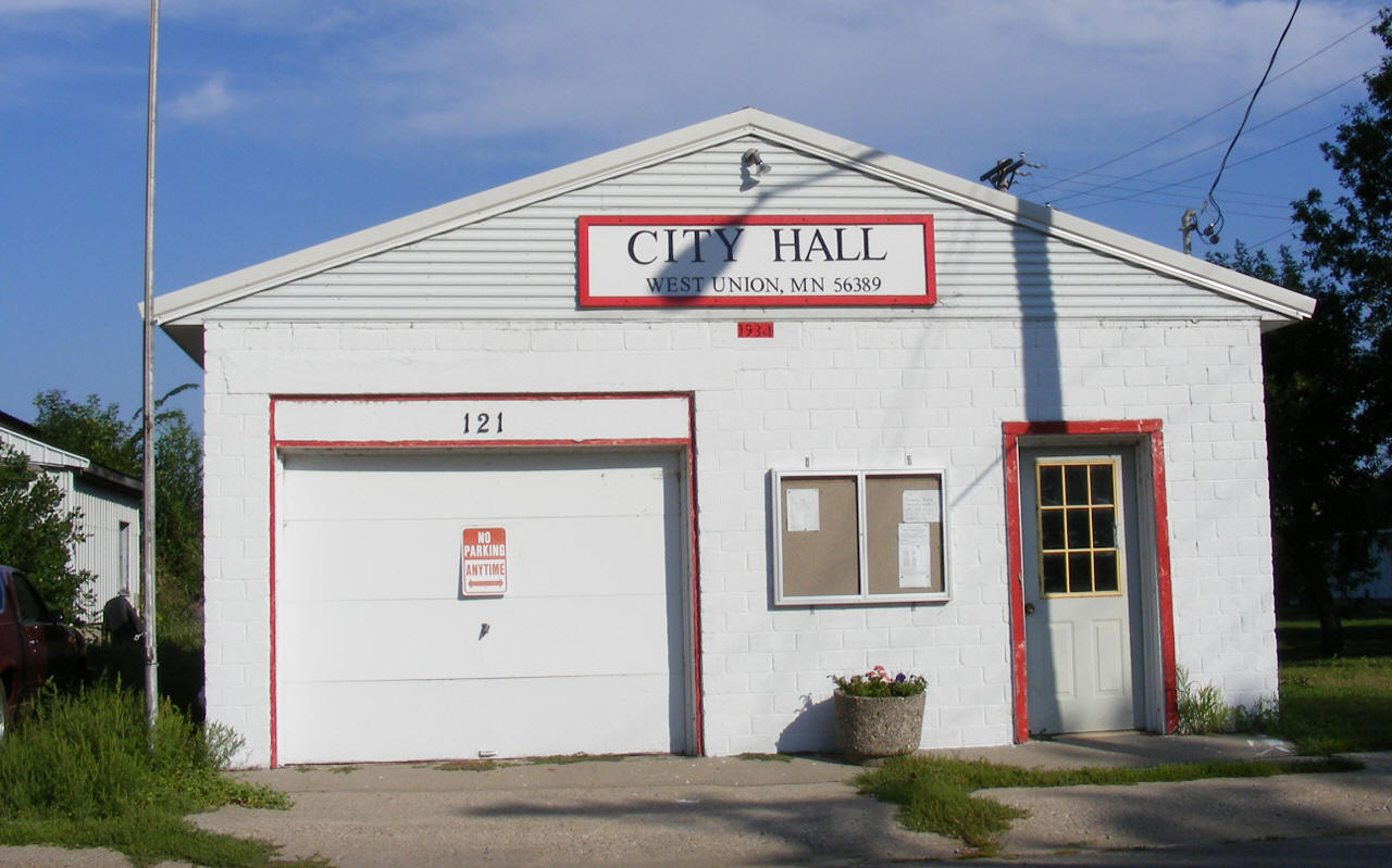
Government:
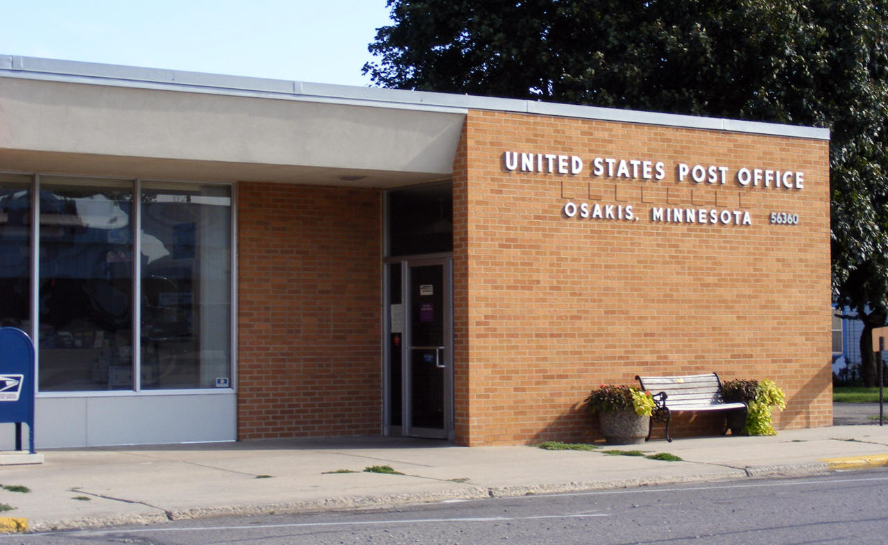
Post Office:
The West Union Post Office
closed on February 28th, 1986. Today, West Union is served by the Osakis
Post Office.
US Post Office
60 W Main Street
Osakis, MN 56360-4400
Phone: (320) 859-2147
Toll Free: (800) ASK-USPS
Regular Business Hours:
Week Days
8:30 am - 11:30 am
12:30 pm - 4:30 pm
Saturday
8:30 am - 10:00 am
 
|
 |
Utilities:
| Utility Type |
Utility Name |
Utility Phone |
| Electricity |
Xcel Energy |
(612) 330-5500 |
| Natural Gas |
n/a |
n/a |
| Wastewater |
n/a |
n/a |
| Water |
n/a |
n/a |
| Telephone |
Arvig Communication Systems |
(320) 859-2700 |
| Cable TV |
n/a |
n/a |
Major
Employers:
|
Employer |
Products/Services |
Employees |
|
n/a |
News:
Weather:
Map:
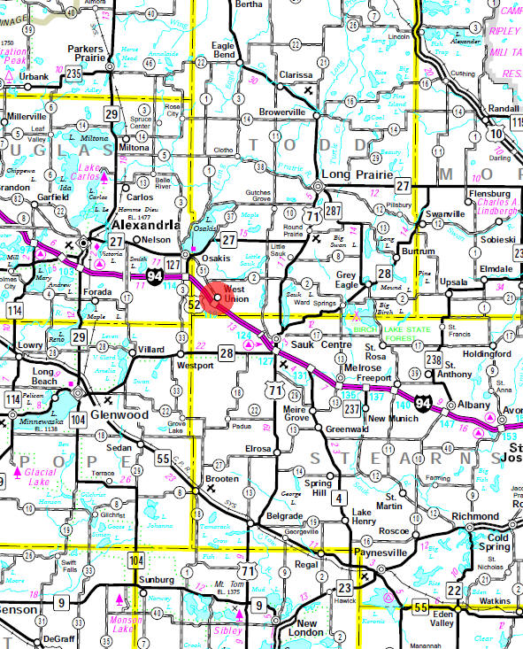
Minnesota State
Highway Map of the West Union Minnesota area
Events:
Attractions:
Recreation:
|
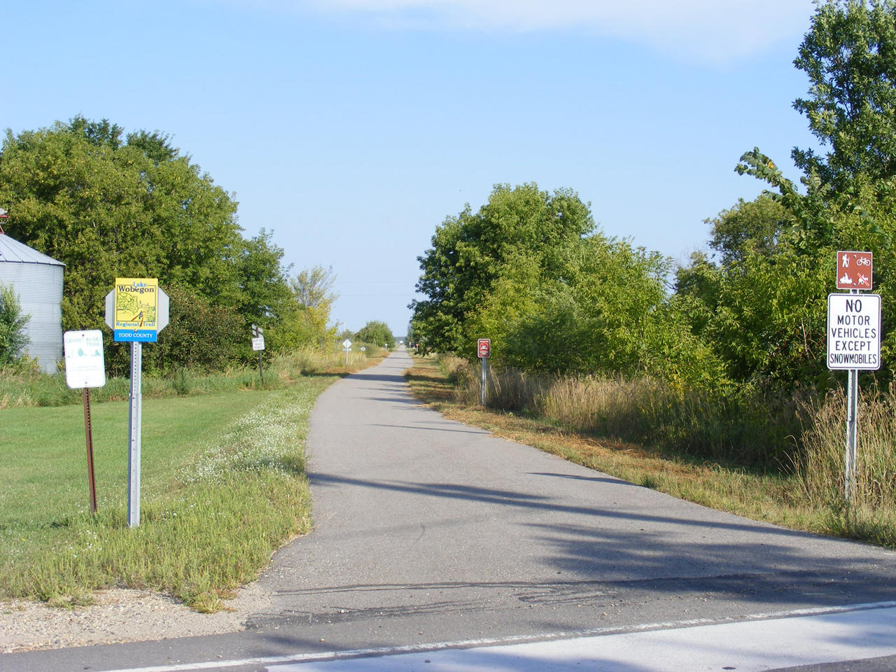
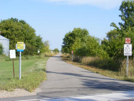
Lake Wobegon Trail
The Lake Wobegon Trail is a 46 mile long, 10 foot
wide, bituminous surfaced hike-and-bike pathway. The trail,
which opened on September 30, 1998, extends from the city of St.
Joseph to the city of Osakis. The
trail runs on the MN/DOT rail corridor formerly owned by
Burlington Northern Railroad Company. The trail has grown
substantially since it was first opened and further additions to
the trail are continuing to be planned. The trail has already
seen a lot of use by bicyclists, snowmobilers, roller-skiers,
roller bladers, and of course, walkers. |
 |
Lakes:
|
Lake Name |
Size
(acres) |
Location |
Lake info |
Lake Map |
Rec Map |
Topo Map |
|
|
|
|
|
|
|
|
Health
Care:
Schools:
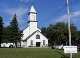
Churches:
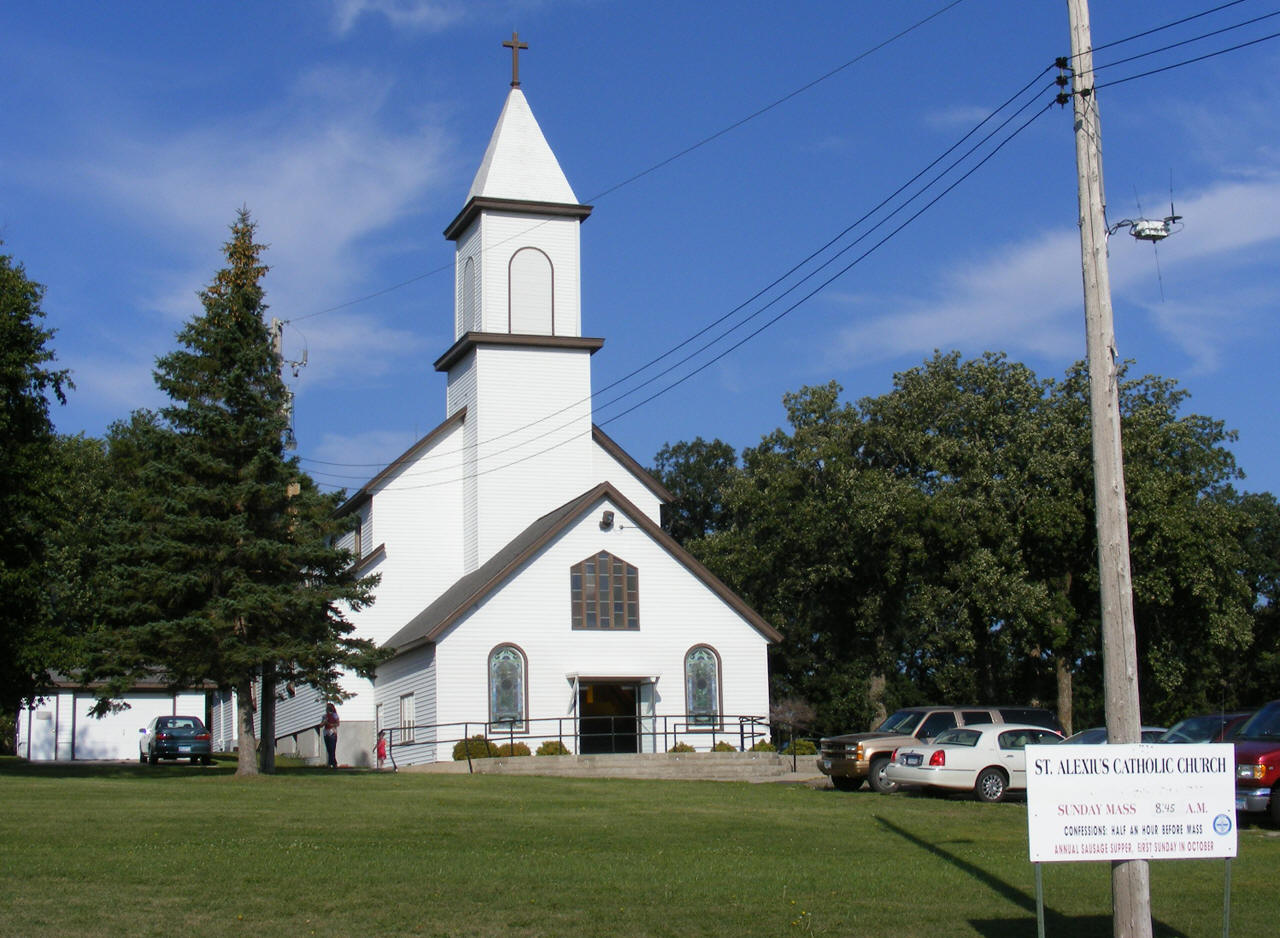
St. Alexius
Catholic Church
11 Oak Street
West Union, MN 56389
Phone:
(320) 352-2563
Pastor:
Rev James Statz
Sunday Mass: 8:45 am |
 |
Media:
Motels:
Resorts:
Campgrounds:
Businesses:
Aerial Photo:
[click photo to enlarge, zoom in or zoom out]
Topographic Map:
[click map to enlarge, zoom in or zoom out]
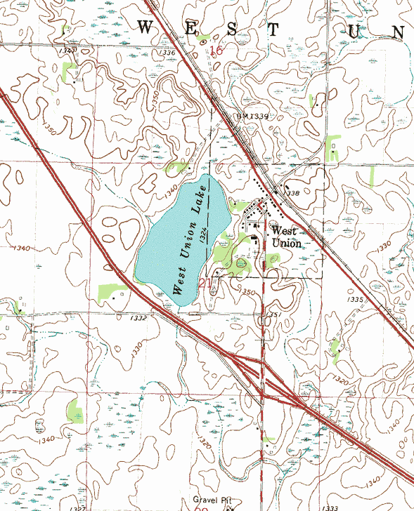 Topographic map is courtesy of the Minnesota DNR
- click map to zoom or enlarge
Topographic map is courtesy of the Minnesota DNR
- click map to zoom or enlarge |

|