|
|
|
|
|
|
Navigation LakesnWoods.com
© 2004-2025 DCMA, Defamation, Copyright and Trademark Infingement Policy
Minnesota Map with Walleye Accent Coffee Mug
(available in 11 oz and 15 oz) |
|
|||||||||||||||||||||||||||||||||||||||||||||||||||||||||||||||||||||||||||||||||||||||||||||||||||||||||||||||||||||||||||||||||||||||||||||||||||||||||||||||||||||||||||
|
|
|
| St. Vincent (city) | 1970 | 1980 | 1990 | 2000 | 2010 | 2000-2010 Change | |
|---|---|---|---|---|---|---|---|
| Actual | Percent | ||||||
| Population | 177 | 141 | 116 | 117 | 64 | -53 | -45.30 |
| Land Area (sq. mile) | 1.00 | 1.06 | 1.08 | 1.08 | 1.08 | 0 | 0.00 |
| Density (persons per sq. mile) | 177.00 | 133.02 | 107.41 | 107.99 | 59.36 | -48.73 | -45.30 |
| Housing Units | 71 | 62 | 56 | 51 | 40 | -11 | -21.57 |
| Households | -- | 52 | 47 | 48 | 29 | -19 | -39.58 |
| Persons Per Household | -- | 2.71 | 2.47 | 2.44 | 2.21 | -0.23 | -8.61 |
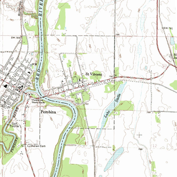
According to the United States Census Bureau, the
city has a total area of 1.15 square miles (2.98 km2), of which 1.08
square miles (2.80 km2) is land and 0.07 square miles (0.18 km2) is
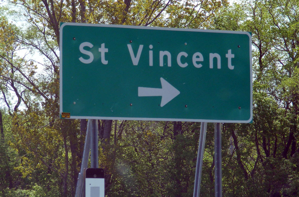
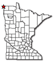
water. The elevation is 791 feet (241 m). The community is the westernmost community in
Minnesota. It is situated on the banks of the Red River of the North, in
the Red River Valley. It grew from one of the oldest settlements in the
region, when it was part of an early fur-trading outpost established by
Alexander Henry. Peter Grant in 1793. The city of Pembina, North Dakota
borders it on the west, across the Red River of the North. Minnesota
Highway 171, U.S. Highway 75, 8th Street, and Pacific Avenue are four of
the main routes in and around the community. North Dakota Highway 59 and
Interstate 29 are also nearby.
From Wikipedia, the free encyclopedia.
As of the census of 2010, there were 64 people, 29 households, and 18 families residing in the city. The population density was 59.3 inhabitants per square mile (22.9/km2). There were 40 housing units at an average density of 37.0 per square mile (14.3/km2). The racial makeup of the city was 98.4% White and 1.6% Native American. Hispanic or Latino of any race were 6.3% of the population.
There were 29 households of which 10.3% had children under the age of 18 living with them, 55.2% were married couples living together, 6.9% had a female householder with no husband present, and 37.9% were non-families. 34.5% of all households were made up of individuals and 17.2% had someone living alone who was 65 years of age or older. The average household size was 2.21 and the average family size was 2.89.
The median age in the city was 49 years. 18.7% of residents were under the age of 18; 6.3% were between the ages of 18 and 24; 17.2% were from 25 to 44; 28.2% were from 45 to 64; and 29.7% were 65 years of age or older. The gender makeup of the city was 54.7% male and 45.3% female.
Visit The
Minnesota History Shop! |
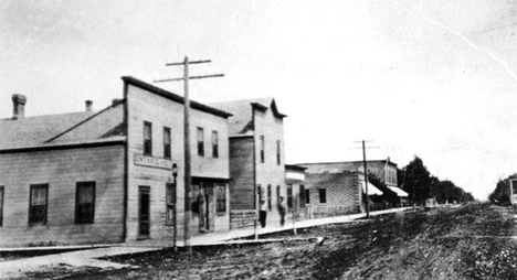
ST. VINCENT Township, organized March 19, 1880, is opposite Pembina, N.Dak. Its name had been earlier given, before 1860, to a post of fur traders here, in honor of the renowned St. Vincent de Paul, founder of missions and hospitals in Paris, who died September 27, 1660, at the age of 80 years. The city in sections 2 and 11, located on the site of an XY Fur Company trading post, was incorporated as a village on May 23, 1857, and again on March 8, 1881; it had a station of the Great Northern Railway in section 2, and at St. Vincent Junction in section 6; its post office began in 1878.
Courtesy Minnesota Historical Society
|
|
|
|
| St. Vincent City Hall 1 Taylor Avenue St. Vincent MN 56755 Phone: (218) 823-6812 Office Hours: not available City Council Meetings: 1st Monday of the month at 7:00 pm 


 |
||||
| Title | Term Ends | Name and Address | Phone: | |
| Mayor | 12/31/2022 | Evan Herberg 431 Atlantic Avenue St. Vincent MN 56755 |
(701) 521-0585 | |
| Clerk | 12/31/2024 | Faith Khalaf 1110 Pacific Avenue St. Vincent MN 56755 |
|
(701) 331-4600 |
| Treasurer | 12/31/2022 | Kristine
Ohmann 1 Taylor Avenue St. Vincent MN 56755 |
(218) 823-6767 | |
| Council Member | 12/31/2022 | Daniel
Ohmann 1 Taylor Avenue St. Vincent MN 56755 |
(218) 823-6767 (970) 227-3778 |
|
| Council Member | 12/31/2022 | Anita Herberg 431 Atlantic Avenue St. Vincent MN 56755 |
(701) 520-4194 | |
| Council Member | 12/31/2024 | Tara N. Garland 333 6th Street S St. Vincent MN 56755 |
(701) 520-8202 (218) 526-0620 |
|
|
Pembina Post Office
Business Hours:
|
 |
| Utility Type | Utility Name | Utility Phone |
| Electricity | Otter Tail Power Company | (218) 739-8200 |
| Natural Gas | n/a | n/a |
| Wastewater | n/a | n/a |
| Water | n/a | n/a |
| Telephone | Polar Communications | (800) 284-7222 |
| Cable TV | n/a | n/a |
| Employer | Products/Services | Employees |
| n/a | ||
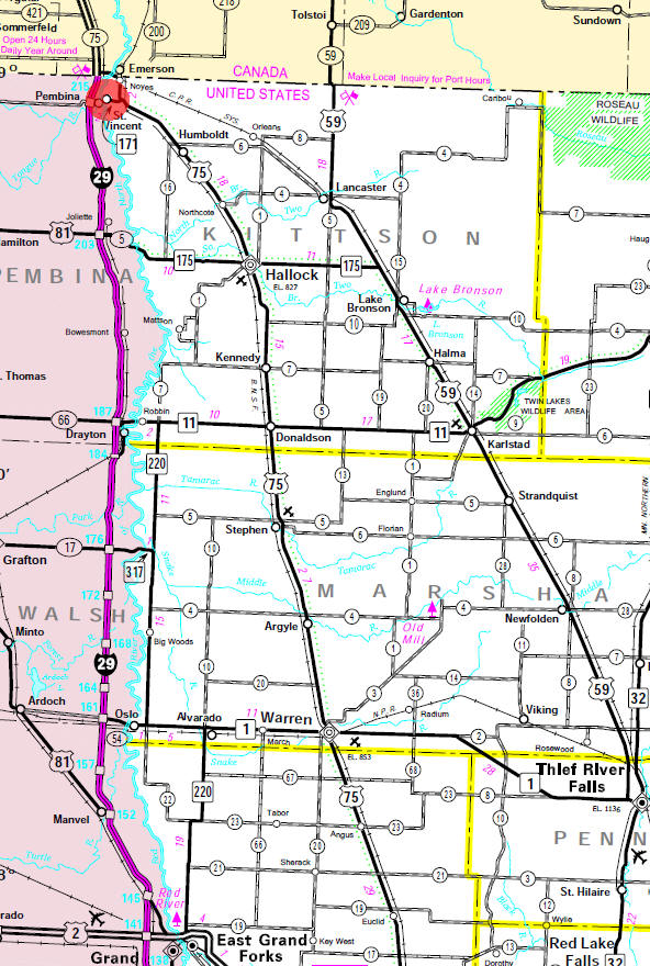
Minnesota State
Highway Map of the St. Vincent Minnesota area
| none |
Check Out
The Minnesota
History Shop! Good Goods and
Great Gifts! |
| none |
| none |
| Lake Name | Size (acres) |
Lake info | Lake Map | Rec Map | Topo Map |
|---|---|---|---|---|---|
| Bronson | 289 |
|
|
|
|
| none |
| St. Vincent School 911 Pacific Ave St. Vincent, MN 56755 Phone: (218) 823-6215 |
|
none |
| none |
|
none |
| none |
| none |
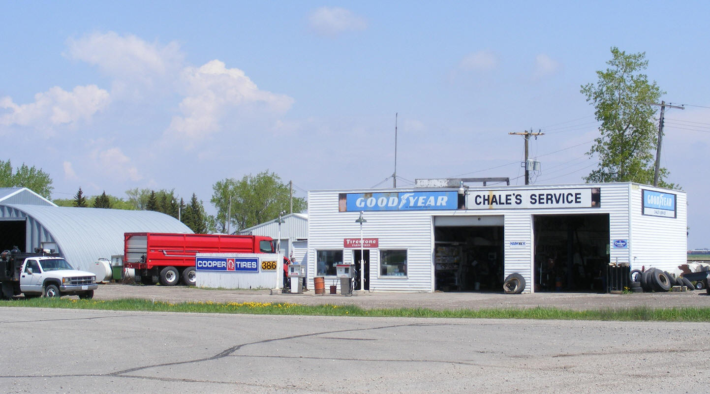
| Chale's Service & Oil Co 3972 US Highway 75 St. Vincent, MN 56755 Phone: (218) 823-6661 |
 |
| Mid Central Medical 1401 Pacific Avenue St. Vincent, MN 56755 Phone: (218) 823-6222 |
|
| Off Season Storage 731 Washington Avenue St. Vincent, MN 56755 Phone: (218) 823-6309 |
|
| US Border Patrol St. Vincent, MN 56755 Phone: (218) 823-6528 |
|
|
|
|
© 2004-2025 LakesnWoods LLC All Rights Reserved |
|
|
|
||