

|
|
|
|
|
|
Navigation LakesnWoods.com
© 2004-2025 DCMA, Defamation, Copyright and Trademark Infingement Policy
|
|
|||||||||||||||||||||||||||||||||||||||||||||||||||||||||||||||||||||||||||||||||||||||||||||||||||||||||||||||||||||||||||||||||||||||||||||||||||||||||||||||||||
 |
 |
| Johnson (city) | 1970 | 1980 | 1990 | 2000 | 2010 | 2000-2010 Change | |
|---|---|---|---|---|---|---|---|
| Actual | Percent | ||||||
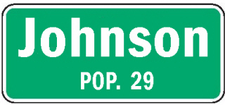
| Population | 53 | 57 | 46 | 32 | 29 | -3 | -9.38 |
| Land Area (sq. mile) | -- | -- | 0.30 | 0.30 | 0.30 | 0 | 0.00 |
| Density (persons per sq. mile) | -- | -- | 153.3 | 103.7 | 96.7 | -7.00 | -9.38 |
| Housing Units | -- | -- | 21 | 16 | 17 | +1 | +6.25 |
| Households | -- | -- | -- | 16 | 15 | -1 | -6.25 |
| Persons Per Household | -- | -- | -- | 2.00 | 1.93 | -0.07 | -3.50 |
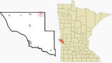
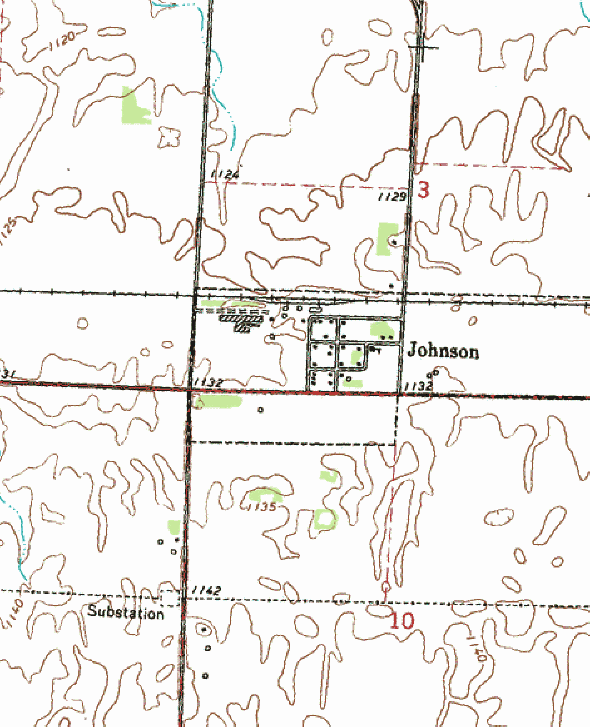
Johnson is a city in Big Stone County, Minnesota. Minnesota State Highway 28 serves as a main route in the community. According to the United States Census Bureau, the city has a total area of 0.30 square miles (0.78 km²), all of it land. The elevation is 1,132 ft (345 m) above sea level. Minnesota State Highway 28 serves as a main route in the community.
From Wikipedia, the free encyclopedia.
As of the census of 2010, there were 29 people, 15 households, and 9 families residing in the city. The population density was 96.7 inhabitants per square mile (37.3/km2). There were 17 housing units at an average density of 56.7 per square mile (21.9/km2). The racial makeup of the city was 100.0% White. Hispanic or Latino of any race were 3.4% of the population.
There were 15 households of which 13.3% had children under the age of 18 living with them, 60.0% were married couples living together, and 40.0% were non-families. 33.3% of all households were made up of individuals and 13.4% had someone living alone who was 65 years of age or older. The average household size was 1.93 and the average family size was 2.44.
The median age in the city was 57.3 years. 13.8% of residents were under the age of 18; 0.0% were between the ages of 18 and 24; 13.7% were from 25 to 44; 55.1% were from 45 to 64; and 17.2% were 65 years of age or older. The gender makeup of the city was 44.8% male and 55.2% female.
Visit The
Minnesota History Shop! |
Courtesy Minnesota Historical Society
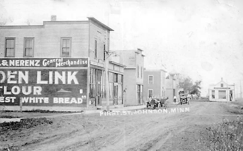 First Street, Johnson Minnesota, 1917 LakesnWoods.com Postcard and Postcard Image Collection- click image to enlarge Visit The Johnson Photo Gallery for more recent and historic area photos |
| Johnson City Hall 205 3rd Street Johnson, MN 56236 Phone: (320) 748-7440 Regular Business Hours: not available City Council Meetings: 1st Thursday of each month 


 |
||||
| Title | Term Ends | Name and Address | Phone | |
| Mayor | 12/31/2022 | Donald E. Johnsrud 205 3rd Street Johnson, MN 56236 |
(320) 760-3135 (320) 748-7440 |
|
| Clerk | 12/31/2022 | Elaine M. Johnsrud 205 3rd Street Johnson, MN 56236 |
|
(320) 748-7440 |
| Treasurer | 12/31/2024 | Rebecca C. Andrews 696 State Highway 28 Johnson, MN 56236 |
(701) 318-2417 | |
| Council Member | 12/31/2022 | Gary A. Fufrman 309 1st Avenue Johnson, MN 56236 |
(320) 748-7400 | |
| Council Member | 12/31/2024 | Daniel W. Andrews 696 State Highway 28 Johnson, MN 56236 |
(320) 808-5560 | |
| Council Member | 12/31/2024 | Dustin Andrews 208 2nd Avenue Johnson, MN 56236 |
(320) 247-2666 | |
|
US Post Office 101 Main Street E Dumont, MN 56236-5050 Phone: (320) 563-8811 Toll Free: (800) ASK-USPS Regular Business Hours:
|
|
| Utility Type | Utility Name | Utility Phone |
| Electricity | Otter Tail Power Company | (320) 589-3434 |
| Natural Gas | n/a | n/a |
| Wastewater | n/a | n/a |
| Water | n/a | n/a |
| Telephone | CenturyLink Communications | (800) 244-1111 |
| Cable TV | n/a | n/a |
| Employer | Products/Services | Employees |
| n/a | ||
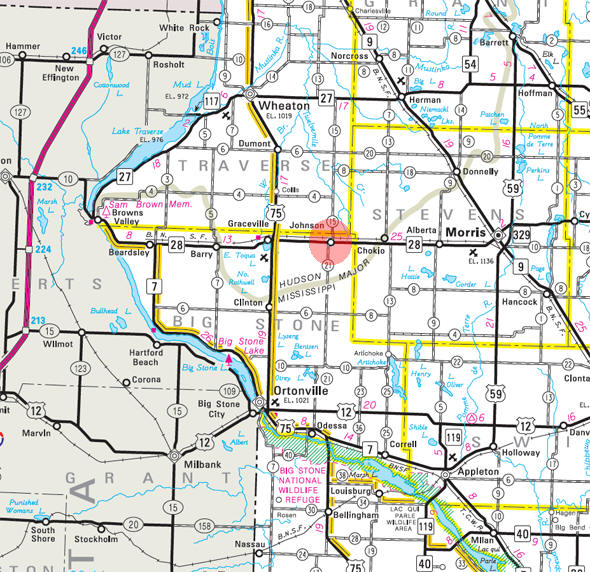
Minnesota State
Highway Map of the Johnson Minnesota area
| none |
| none |
| none |
| Lake Name | Size (acres) |
Lake info | Lake Map | Rec Map | Topo Map |
|---|---|---|---|---|---|
| none in the immediate area | |||||
| none |
| none |
| Trinity Lutheran Church County Road 15 Johnson, MN 56236 Phone: (320) 748-7500 |
| none |
 |
| none |
| none |
| none |
| Brian A. Wulff Farms 67353 240th Street Johnson, MN 56236 Phone: (320) 748-7190 |
|
|
|
|
© 2004-2025 LakesnWoods LLC All Rights Reserved |
|
|
|
||
