|
|
|
|
|
|
Navigation LakesnWoods.com
© 2004-2024 DCMA, Defamation, Copyright and Trademark Infingement Policy
|
|
||||||||||||||||||||||||||||||||||||||||||||||||||||||||||||||||||||||||||||||||||||||||||||||||||||||||||||||||||||||||||||||||||||||||||||||||||||||||||||||||||||||||||||||||||||||
 |
|
| Meire Grove (city) | 1970 | 1980 | 1990 | 2000 | 2010 | 2000-2010 Change | |
|---|---|---|---|---|---|---|---|
| Actual | Percent | ||||||
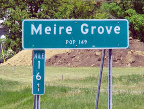
| Population | 171 | 174 | 124 | 149 | 179 | +30 | +20.13 |
| Land Area (sq. mile) | 0.00 | 0.44 | 0.46 | 0.46 | 0.56 | +0.10 | +21.74 |
| Density (persons per sq. mile) | -- | 395.5 | 269.6 | 324.8 | 319.6 | -5.20 | -1.60 |
| Housing Units | 50 | 63 | 59 | 70 | 78 | +8 | +11.43 |
| Households | -- | 61 | 55 | 61 | 70 | +9 | +14.75 |
| Persons Per Household | -- | 2.85 | 2.25 | 2.44 | 2.56 | +0.12 | +4.92 |
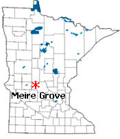
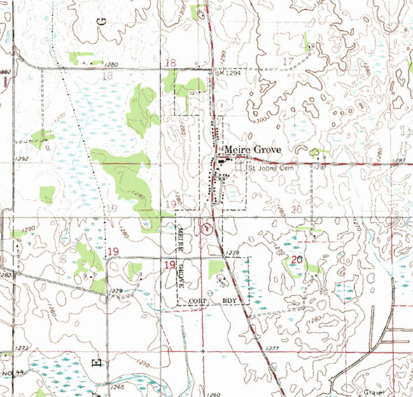
Meire Grove is a city in Stearns County, Minnesota. Minnesota State Highway 4 serves as a main route in the community, and Interstate 94 is nearby. According to the United States Census Bureau, the city has a total area of 0.56 square miles (1.45 km2), all of it land. The elevation is 1,280 feet (390 m).
From Wikipedia, the free encyclopedia.
As of the census of 2010, there were 179 people, 70 households, and 46 families residing in the city. The population density was 319.6 inhabitants per square mile (123.4/km2). There were 78 housing units at an average density of 139.3 per square mile (53.8/km2). The racial makeup of the city was 98.9% White and 1.1% Asian.
There were 70 households of which 27.1% had children under the age of 18 living with them, 47.1% were married couples living together, 5.7% had a female householder with no husband present, 12.9% had a male householder with no wife present, and 34.3% were non-families. 31.4% of all households were made up of individuals and 18.6% had someone living alone who was 65 years of age or older. The average household size was 2.56 and the average family size was 3.00.
The median age in the city was 38.3 years. 27.4% of residents were under the age of 18; 6.6% were between the ages of 18 and 24; 25.1% were from 25 to 44; 13.3% were from 45 to 64; and 27.4% were 65 years of age or older. The gender makeup of the city was 48.6% male and 51.4% female.
Visit The
Minnesota History Shop! |
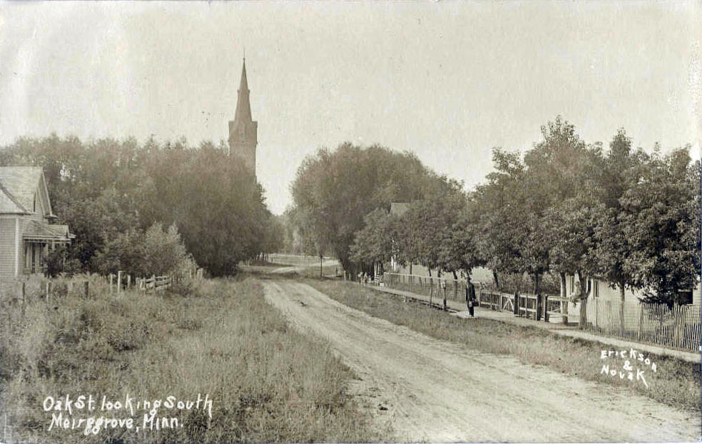
MEIRE GROVE is a city founded about 1858 in sections 17 and 20 of Grove Township; it was incorporated as a village on December 24, 1896; the post office, 1873-1905, was also noted as Meire's Grove and Meiregrove.
Courtesy Minnesota Historical Society
|
|
|
|
| Meire Grove City Hall 180 N 2nd Avenue Meire Grove, MN 56352 Phone: (320) 987-3168 Fax: (320) 252-1220 Regular Business Hours: Every 3rd Monday 7:00 pm - 10:00 pm City Council Meetings: 3rd Monday of the month at 7:30 pm 


 |
 |
|||
| Title | Term Ends | Name and Address | Phone | |
| Mayor | 12/31/2022 | Matthew Silbernick
120 Mini Street E Meire Grove, MN 56352 |
(320) 987-3210 | |
| Clerk | 12/31/2024 | Cindy Schneider 180 2nd Avenue N Meire Grove, MN 56352 |
|
(320) 251-1700 (320) 987-3119 |
| Treasurer | 12/31/2024 | Christy Pitcher 105 State Highway 4 S Meire Grove, MN 56352 |
|
(320) 894-2465 |
| Council Member | 12/31/2022 | Michael Wehlage 415 State Highway 4 S Meire Grove, MN 56352 |
(320) 987-3696 | |
| Council Member | 12/31/2022 | Kurt Meyer 175 Meyer Drive Meire Grove, MN 56352 |
(320) 987-4896 | |
| Council Member | 12/31/2024 | Jayme Klaphake 55 State Highway 4 S Meire Grove, MN 56352 |
(320) 290-2136 | |
|
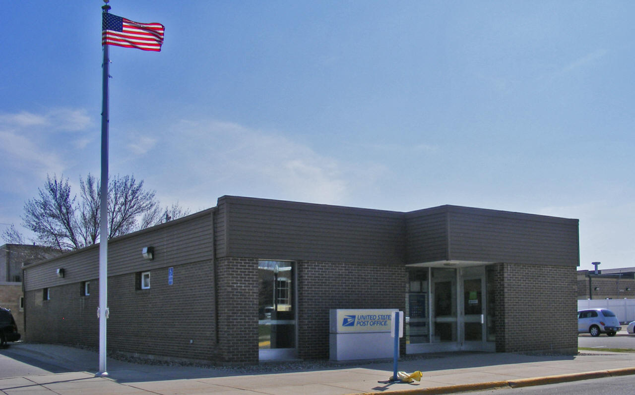
US Post Office 304 1st Street NE Melrose, MN 56352 Phone: (320) 256-3713 Toll Free: (800) ASK-USPS
Regular Business Hours:  |
 |
| Utility Type | Utility Name | Utility Phone |
| Electricity | Xcel Energy | (800) 892-0343 |
| Natural Gas | n/a | n/a |
| Wastewater | n/a | n/a |
| Water | n/a | n/a |
| Telephone | Melrose Telephone Company | (320) 256-7471 |
| Cable TV | n/a | n/a |
| Employer | Products/Services | Employees |
|
n/a |
||
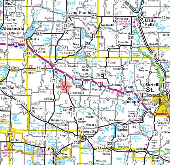
Minnesota State
Highway Map of the Meire Grove Minnesota area
| none |
Check Out
The Minnesota
History Shop! Good Goods and
Great Gifts! |
| none |
| none |
| Lake Name | Size (acres) |
Lake info | Lake Map | Rec Map | Topo Map |
|---|---|---|---|---|---|
|
none in the immediate area |
|||||
| none |
|
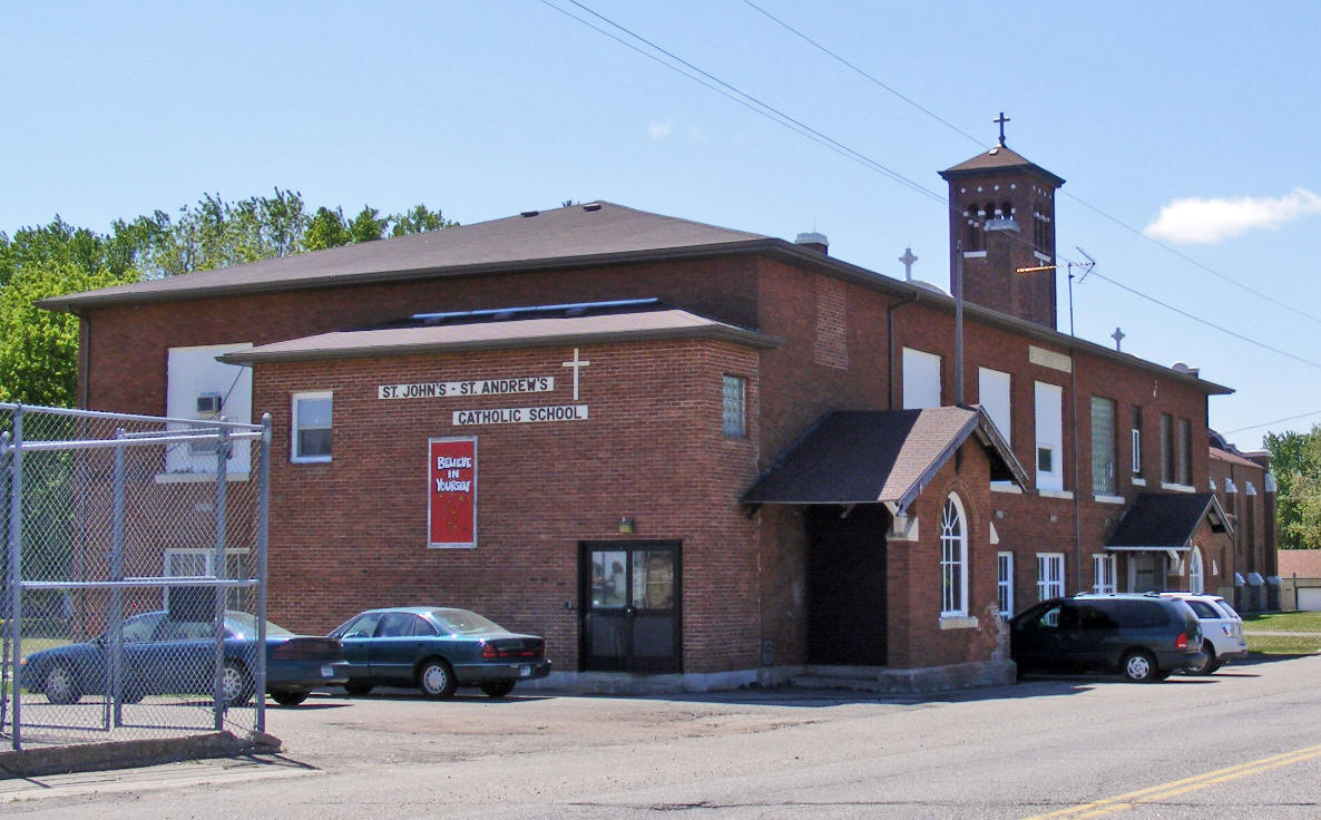
St. Johns St. Andrews Catholic School |
 |
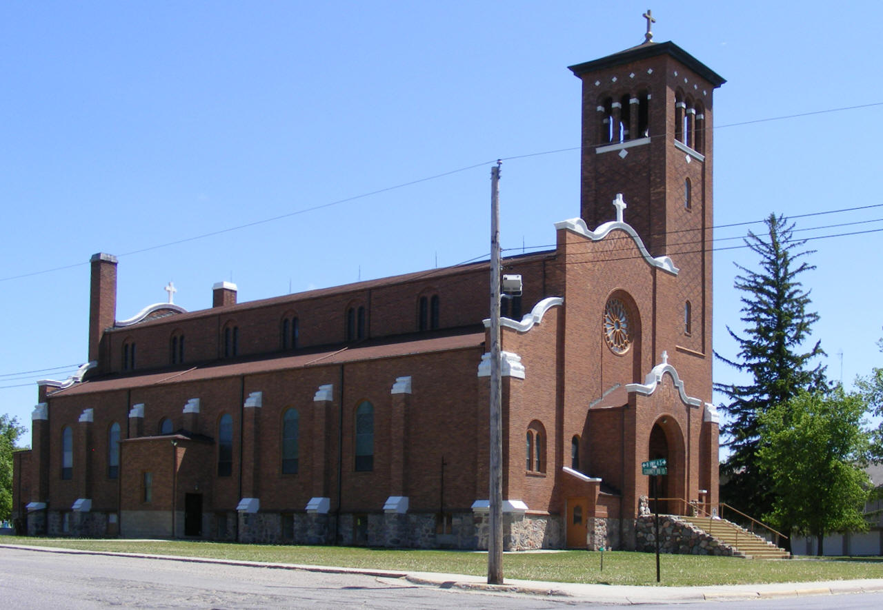
| St. John the Baptist Church
20 State Highway 4 S
Meire Grove, MN 56352 |
 |
| none |
| none |
| none |
| none |
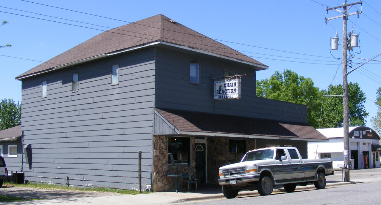
| Chain Reaction Bar & Grill 55 State Highway 4 S Meire Grove, MN 56352 Phone: (320) 987-3471 |
 |
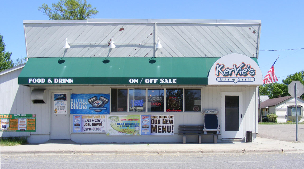
| Kervie's Bar & Grill 60 Highway 4 S Meire Grove, MN 56352 Phone: (320) 987-3000 |
 |
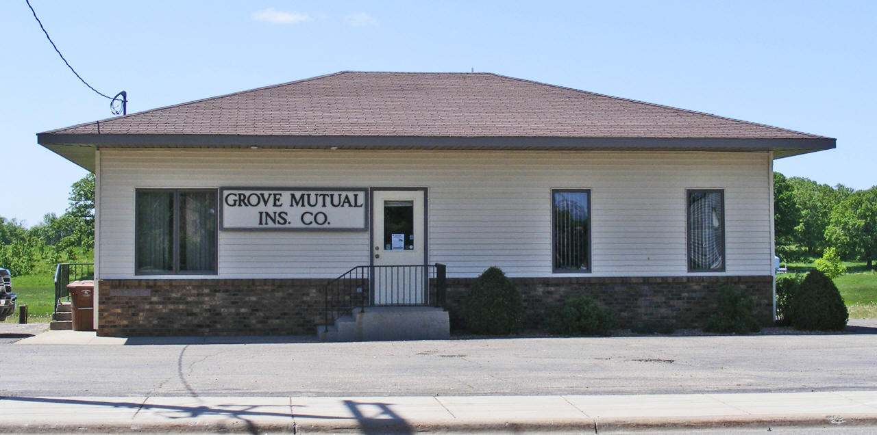
| Grove Mutual Insurance Co 75 State Highway 4 N Melrose, MN 56352 Phone: (320) 987-3646 |
 |
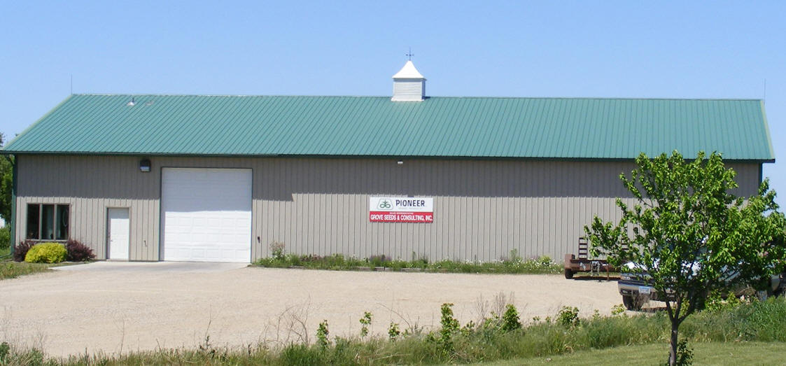
| Grove Seeds & Consulting Inc
100 E County Road 13 Meire Meire Grove, MN 56352 Phone: (320) 987-3770 |
 |
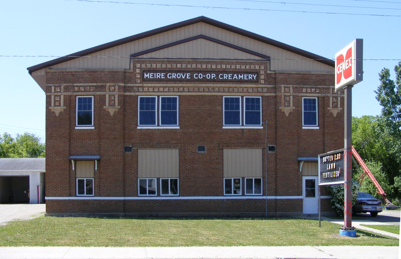
| Meire Grove Cooperative 125 Highway 4 S Meire Grove, MN 56352 Phone: (320) 987-3297 |
 |
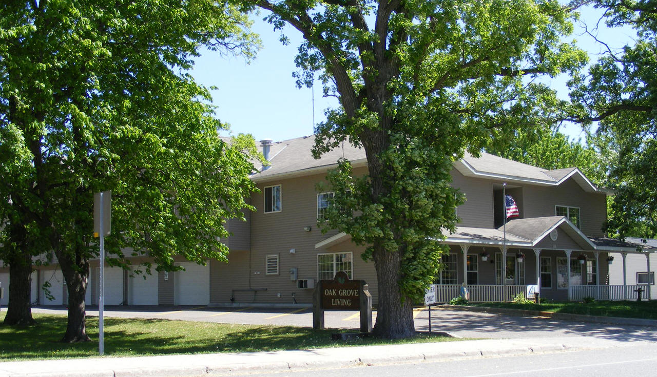
| Oak Grove Living 30 State Highway 4 S Meire Grove, MN, 56352 Phone: (320) 845 - 4070 |
 |
| Quality Plus Convenience 120 Highway 4 S Meire Grove, MN 56352 Phone: (320) 987-3737 |
 |
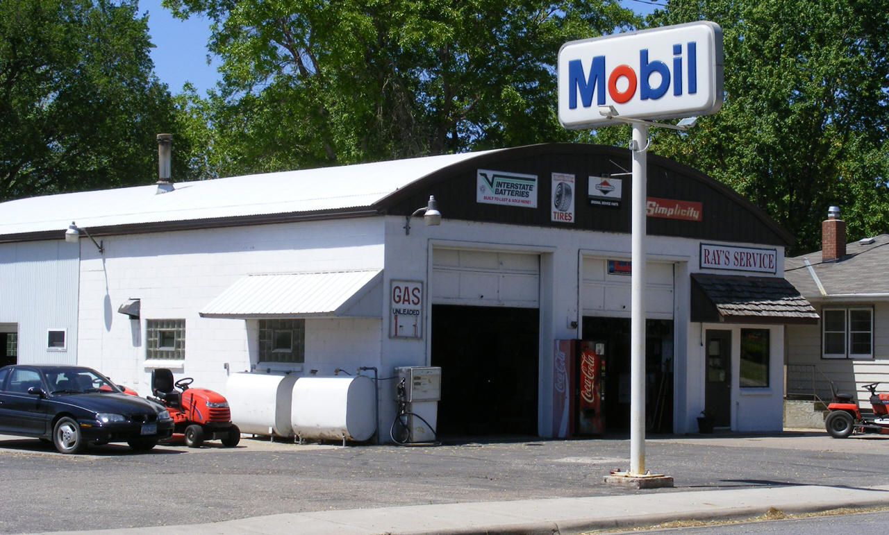
| Ray's Service 45 State Highway 4 S Meire Grove, MN 56352 Phone: (320) 987-3461 |
 |
|
|
|
|
© 2004-2024 LakesnWoods LLC All Rights Reserved |
|
|
|
||