|
|
|
|
|
|
Navigation LakesnWoods.com
© 2004-2025 DCMA, Defamation, Copyright and Trademark Infingement Policy
Greetings from Minnesota Tote Bag
Minnesota Quarter Sweatshirt
Walleye
Fear Me Hat
Minnesota State Bird Women's Light T-Shirt
|
|
||||||||||||||||||||||||||||||||||||||||||||||||||||||||||||||||||||||||||||||||||||||||||||||||||||||||||||||||||||||||||||||||||||||||||||||||||||||||||||||||||||||||||||||||||||||||||||||||||||||||||||||||||||||||||||||||||||||||||||||||||||||||||||||||||||||||||||||||||||||||||||||||||||||||||
|
|
|
| Kensington (city) | 1970 | 1980 | 1990 | 2000 | 2010 | 2000-2010 Change | |
|---|---|---|---|---|---|---|---|
| Actual | Percent | ||||||
| Population | 308 | 331 | 295 | 286 | 292 | +6 | +2.10 |
| Land Area (sq. mile) | 0.30 | 0.27 | 0.26 | 0.26 | 0.36 | +0.10 | +38.46 |
| Density (persons per sq. mile) | 1,026.67 | 1,225.93 | 1,134.62 | 1,093.87 | 811.11 | -228.76 | -20.91 |
| Housing Units | 120 | 148 | 141 | 148 | 147 | -1 | -0.68 |
| Households | -- | 133 | 123 | 132 | 137 | +5 | +3.79 |
| Persons Per Household | -- | 2.49 | 2.40 | 2.17 | 2.13 | -0.04 | -1.84 |
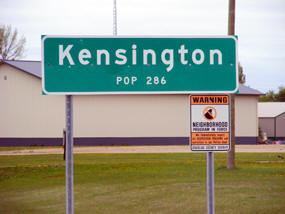
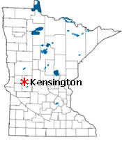
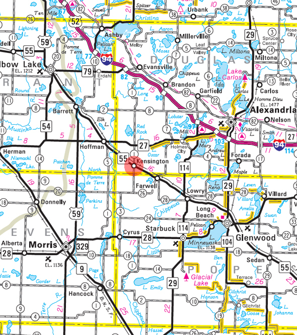
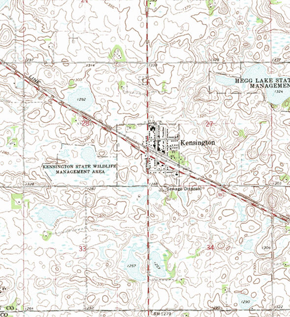
Kensington is a city in Douglas County, Minnesota. According to the United States Census Bureau, the city has a total area of 0.36 square miles (0.93 km2), all of it land. Minnesota Highway 55 serves as a main route in the community. The elvation is 1,309 feet (399 m).
From Wikipedia, the free encyclopedia.
As of the census of 2010, there were 292 people, 137 households, and 75 families residing in the city. The population density was 811.1 inhabitants per square mile (313.2/km2). There were 147 housing units at an average density of 408.3 per square mile (157.6/km2). The racial makeup of the city was 96.9% White, 0.3% African American, 1.0% Native American, 0.3% from other races, and 1.4% from two or more races. Hispanic or Latino of any race were 2.7% of the population.
There were 137 households of which 23.4% had children under the age of 18 living with them, 44.5% were married couples living together, 8.8% had a female householder with no husband present, 1.5% had a male householder with no wife present, and 45.3% were non-families. 40.9% of all households were made up of individuals and 17.5% had someone living alone who was 65 years of age or older. The average household size was 2.13 and the average family size was 2.89.
The median age in the city was 40.3 years. 20.2% of residents were under the age of 18; 8.4% were between the ages of 18 and 24; 26.7% were from 25 to 44; 27.1% were from 45 to 64; and 17.5% were 65 years of age or older. The gender makeup of the city was 50.3% male and 49.7% female.
Visit The
Minnesota History Shop! |
KENSINGTON, a city of Solem Township, sections 27 and 28, was platted by Hon. William D. Washburn in March 1887, was incorporated August 28, 1891, and separated from the township on October 1, 1906. This is the name of a western section of the city of London, and it is also borne by villages and townships in seven other states. The city had a station on the Soo Line, and its post office began in 1887. On the farm of Olof Ohman, about three miles northeast from this village, the famous Kensington runestone was found in November 1898.
Courtesy Minnesota Historical Society
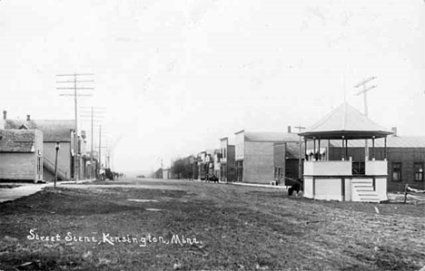 Street scene, Kensington Minnesota, 1914 Courtesy Minnesota Historical Society - click image to enlarge or purchase Visit The Kensington Photo Gallery for more recent and historic area photos |
|
Kensington City Hall 19 Kensington Avenue N PO Box 156 Kensington, MN 56343 Phone: (320) 965-2500 Regular Business Hours:
|
 |
|||
| Title | Term Ends | Name and Address | Phone | |
| Mayor | 12/31/2022 | Jim Schecker 19 Tower Street - PO Box 144 Kensington, MN 56343 |
(320) 965-6203 | |
| Clerk | appointed | Jennifer Kangas 19 Kensington Avenue N Kensington, MN 56343 |
 |
(320) 965-2500 |
| Treasurer | appointed | Pryce Score PO Box 150 Kensington, MN 56343 |
(320) 965-2711 | |
| Council Member | 12/31/2022 | Amy Eystad 30 Grand Avenue N - PO Box 53 Kensington, MN 56343 |
(320) 965-6261 | |
| Council Member | 12/31/2022 | Randy Petersen 19 Kensington Avenue N PO Box 198 Kensington, MN 56343 |
(320)
965-2289 (320) 815-1920 |
|
| Council Member | 12/31/2024 | John Gran 12 Grand Avenue N - PO Box 11 Kensington, MN 56343 |
(320)
965-3003 (320) 288-6473 |
|
| Council Member | 12/31/2024 | Emmy L Maheux
(Leverson) 17 Kensington Avenue S PO Box 112 Kensington, MN 56343 |
(320) 965-2327 | |
|
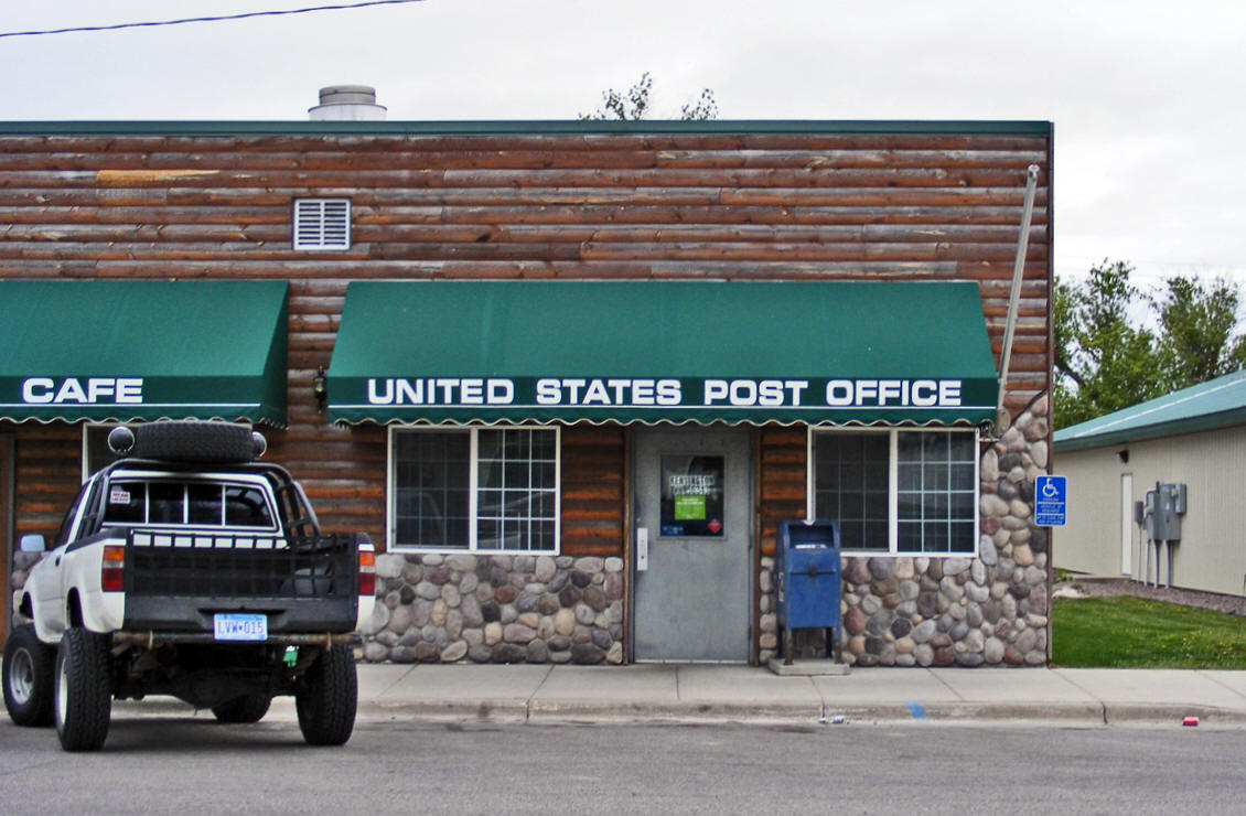
US Post Office 17 Central Avenue N Kensington, MN 56343-4400 Phone: (320) 965-2765 Toll Free: (800) ASK-USPS
Regular Business Hours:  
|
 |
| Utility Type | Utility Name | Utility Phone |
| Electricity | Otter Tail Power Company | (800) 257-4044 |
| Natural Gas | n/a | -- |
| Wastewater | City of Kensington | (320) 965-2500 |
| Water | City of Kensington | (320) 965-2500 |
| Telephone | Runestone Telecom Association | (320) 986-2013 |
| Cable TV | Runestone Telecom Association | (320) 986-2013 |
| Employer | Products/Services | Employees |
|
n/a |
||
| none |
Check Out
The Minnesota
History Shop! Good Goods and
Great Gifts! |
|
Andes Tower Hills 4505 Andes Road SW Kensington, MN 56343 Phone: (320) 965-2455 Web: www.andestowerhills.com |
 |
| Lake Name | Size (acres) |
Lake info | Lake Map | Rec Map | Topo Map |
|---|---|---|---|---|---|
|
|
|
|
|
|
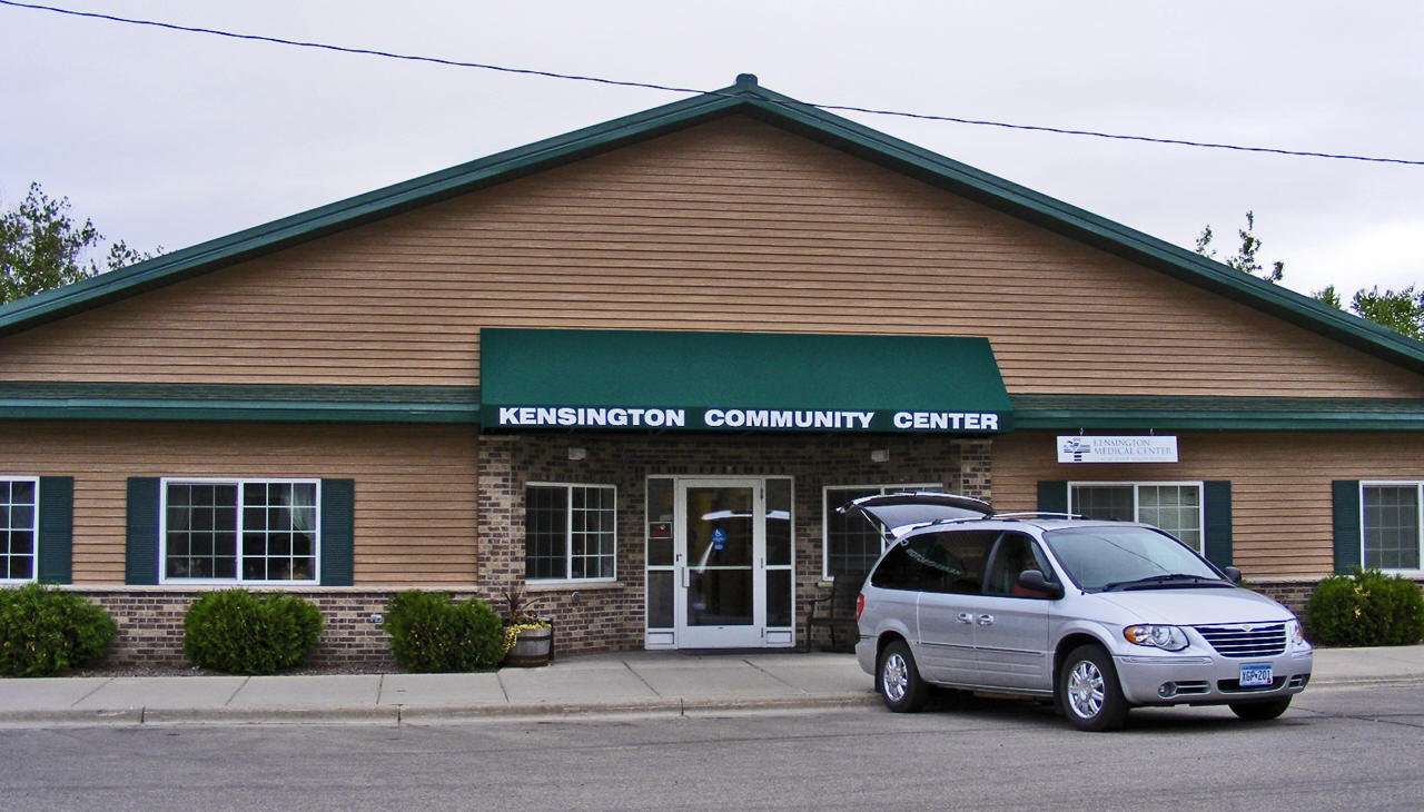
Kensington Medical Center |
|
|
West
Central Area Schools 301 County Road 2 Barrett, MN 56311 Phone: (320) 528-2650 Fax: (320) 528-2609 Web: www.westcentralareaschools.net |
 |
|
West Central Secondary 301 County Road 2 Barrett, MN 56311 Phone: (320) 528-2650 Fax: (320) 528-2609 Grades:
7-12 |
|
|
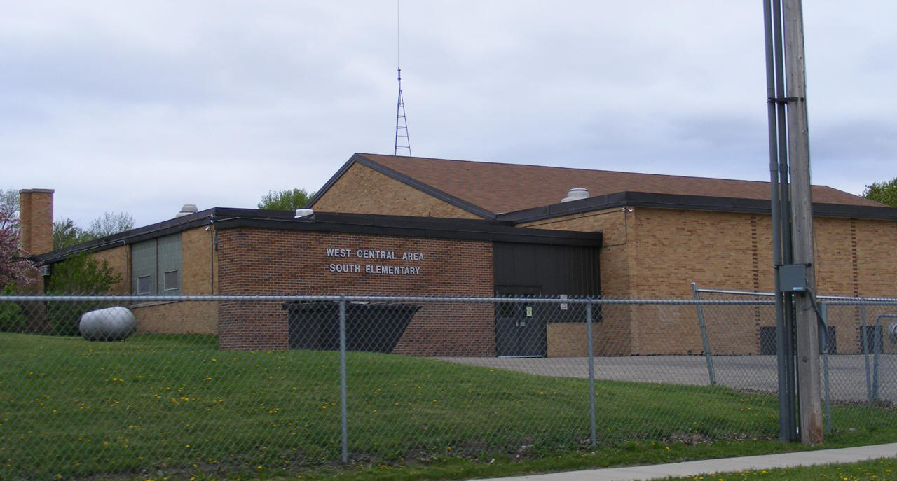
South Elementary School
Grades: K-6 |
 |
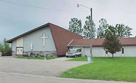
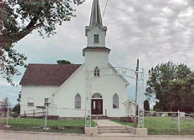
| Covenant Church 11 Kensington Avenue S Kensington, MN 56343 Phone: (320) 965-2331 Pastor: David
Wallin |
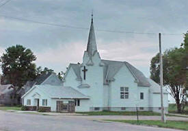 |
| First Lutheran Church 25 State Street E Kensington, MN 56343 Phone: (320) 965-2540 Pastor: Barbara
Chapman |
|
| Nora Lutheran Church ELCA Kensington, MN 56343 Pastor:
Elaine Leone |
|
| Our Lady of the Runestone
Catholic
Church 11 Runestone Drive Kensington, MN 56343 Phone: (320) 965-2596 Pastor: Roger
Thoeness |
 |
| Solem Lutheran Church ELCA 9159 County Road 1 SW Kensington, MN 56343 Phone: (320) 965-2523 Pastor: Elaine
Leone |
 |
| none |
| none |
| none |
| none |
| A & C Construction Service 11960 Grove Lake Road SW Kensington, MN 56343 Phone: (320) 965-2220 |
|
| AFLAC 20196 State Highway 27 W Kensington, MN 56343 Phone: (320) 965-2437 |
|
| Alexandria Dental Associates 15397 County Road 96 SW Kensington, MN 56343 Phone: (320) 965-2626 |
|
|
Andes Tower Hills 4505 Andes Road SW Kensington, MN 56343 Phone: (320) 965-2455 Web: www.andestowerhills.com |
|
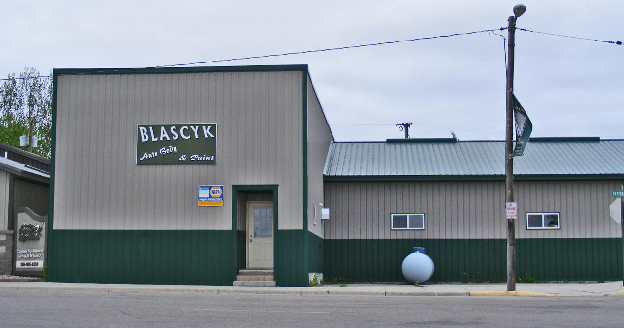
| Blascyk Auto Body 12 Central Avenue N Kensington, MN 56343 Phone: (320) 965-2624 |
 |
| CMC Construction Management 13105 County Road 15 SW Kensington, MN 56343 Phone: (320) 965-2388 |
|
| Covenant Church 11 Kensington Avenue S Kensington, MN 56343 Phone: (320) 965-2331 |
|
| Digital Print Solutions 14 Central Avenue N Kensington, MN 56343 Phone: (320) 965-2297 |
|
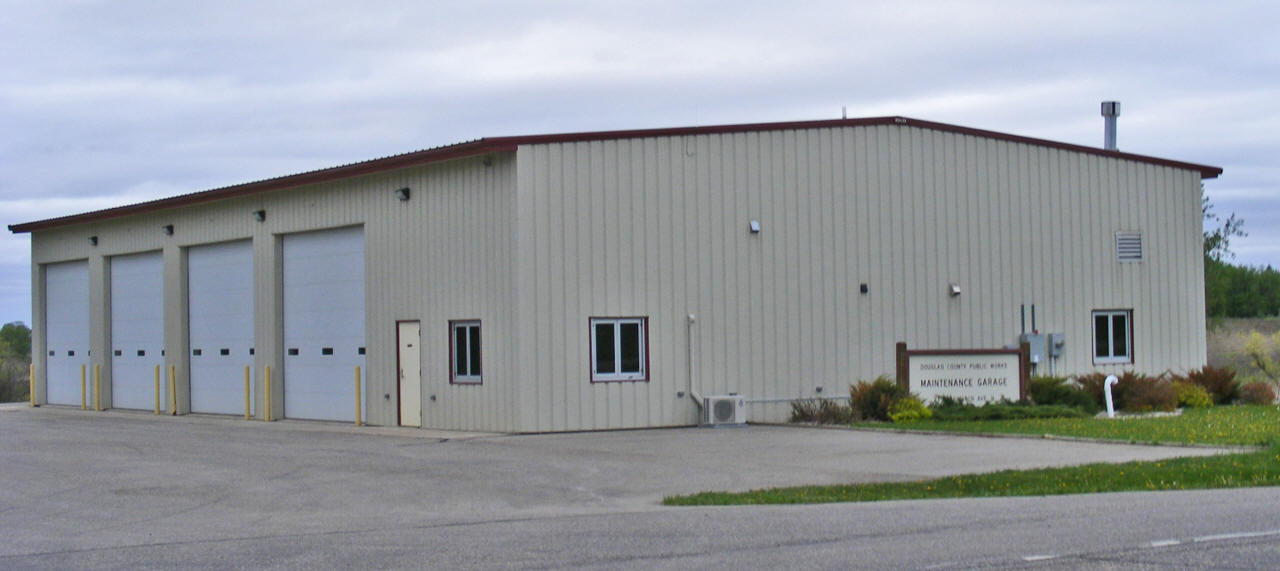
| Douglas County Garage County Road 1 Kensington, MN 56343 Phone: (320) 965-2716 |
 |
| Exhaust Pros 17144 State Highway 27 W Kensington, MN 56343 Phone: (320) 965-2237 |
|
| Farmers Elevator Company 22 Railway Street W Kensington, MN 56343 Phone: (320) 965-2521 |
|
| Fergus Falls Monument
Company 10 State Street W Kensington, MN 56343 Phone: (320) 965-2260 |
|
| First Lutheran Church 25 State Street E Kensington, MN 56343 Phone: (320) 965-2540 |
|
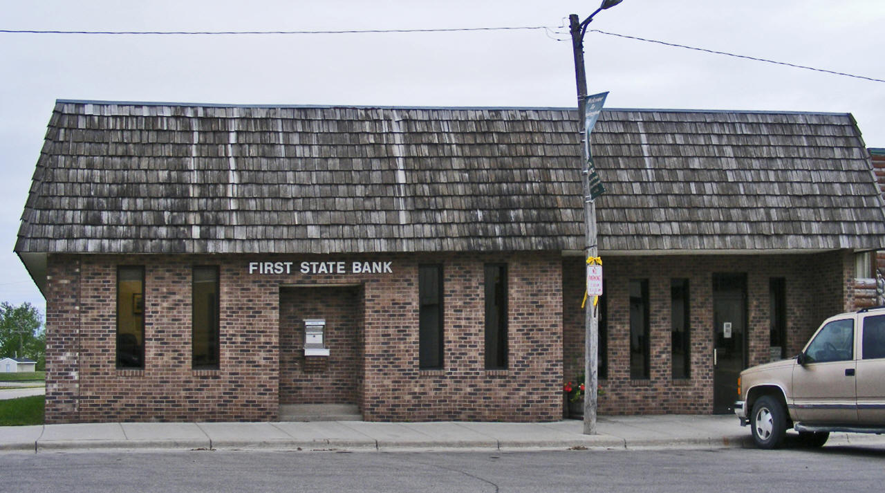
| First State Bank 11 Central Avenue N Kensington, MN 56343 Phone: (320) 965-2419 |
 |
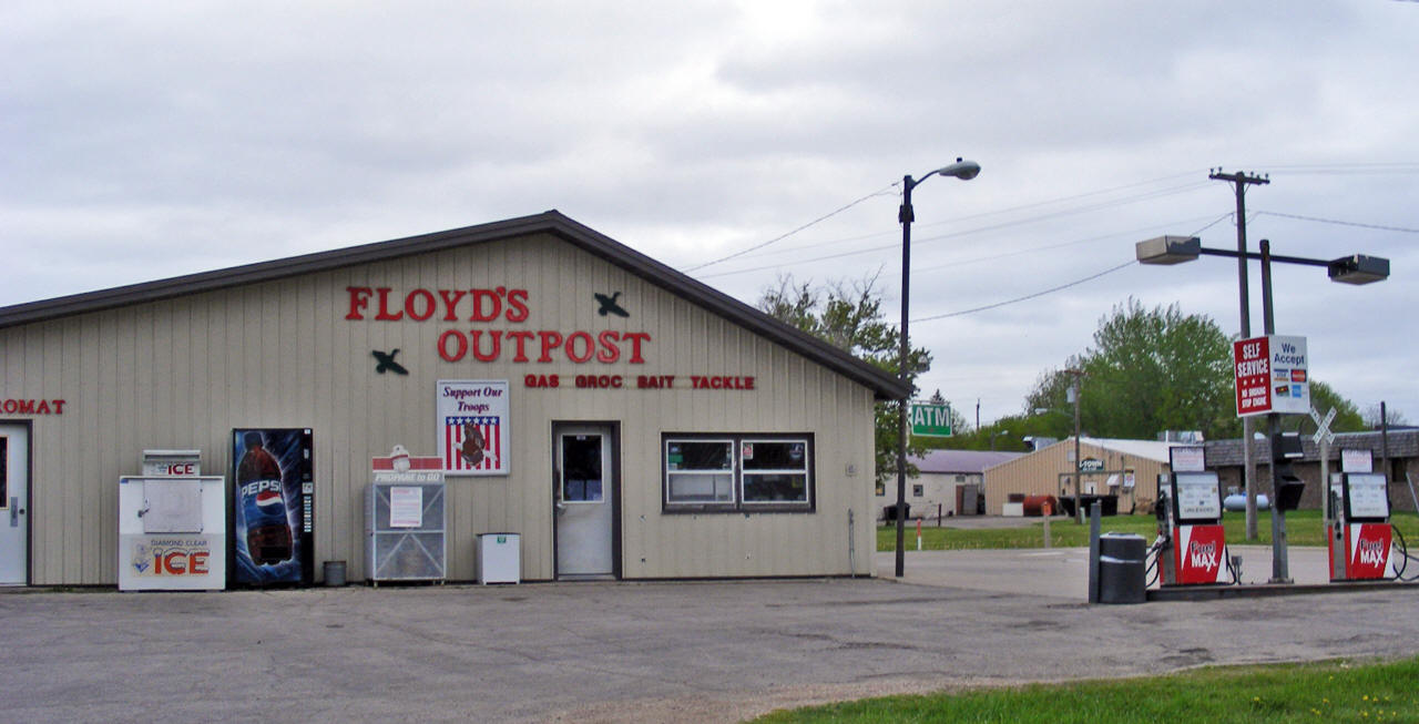
| Floyd's Outpost 11 Railway Street W Kensington, MN 56343 Phone: (320) 965-2746 |
 |
| Garbs Sales Inc 10 Viking Drive Kensington, MN 56343 Phone: (320) 965-6680 |
|
| Image Xperts Inc 14 Central Avenue N Kensington, MN 56343 Phone: (320) 965-9393 |
|
| Kensington Area Heritage
Society 24 Central Avenue N Kensington, MN 56343 Phone: (320) 965-2616 |
|
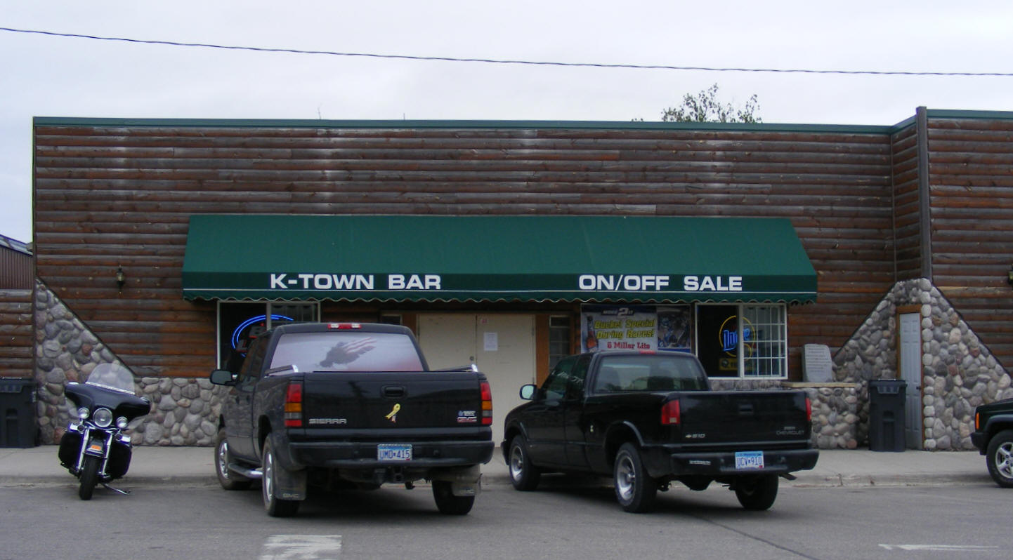
| Kensington Bar & Cafe 13 Central Avenue N Kensington, MN 56343 Phone: (320) 965-2410 |
 |
| Kensington City Offices 19 Central Avenue N Kensington, MN 56343 Phone: (320) 965-2500 |
|
| Kensington Hair Center 22 Central Avenue N Kensington, MN 56343 Phone: (320) 965-2573 |
|
| Kensington Medical Center 19 Central Avenue N Kensington, MN 56343 Phone: (320) 965-2750 |
|
| Kensington Milling Company 11 Railway Street E Kensington, MN 56343 Phone: (320) 965-2606 |
|
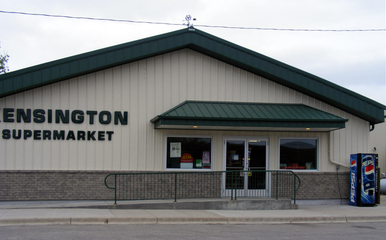
| Kensington Supermarket 20 Central Avenue N Kensington, MN 56343 Phone: (320) 965-2741 |
 |
| Kensington-Cyrus Truck
Service 16 Rostedt Street Kensington, MN 56343 Phone: (320) 965-2525 |
|
| Kev's & Son Gravel 11600 Grove Lake Rd SW Kensington, MN 56343 Phone: (320) 965-2274 |
|
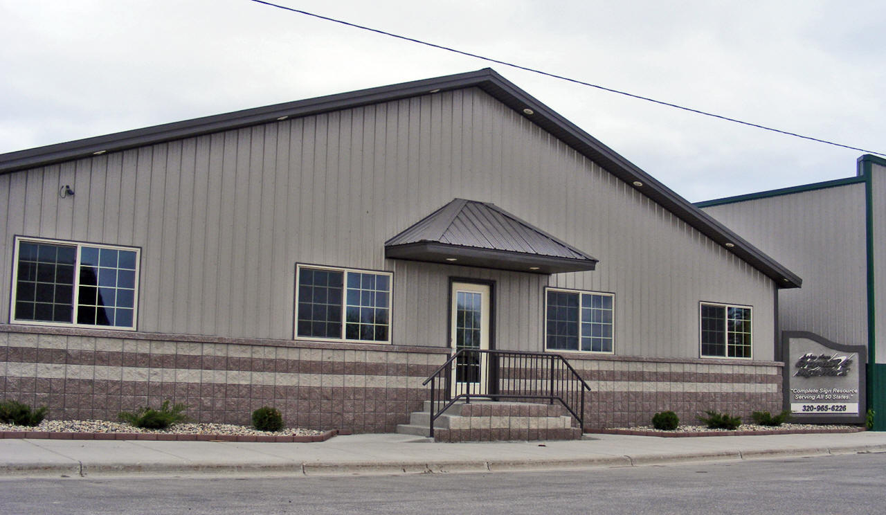
| Lakes Area Graphix & Sign
Worx 14 Central Avenue N Kensington, MN 56343 Phone: (320) 965-6226 |
 |
| Mannatech Associate 5370 Honeysuckle Lane SW Kensington, MN 56343 Phone: (320) 965-2544 |
|
| Midwest Grain Systems Inc 21000 State Highway 55 SW Kensington, MN 56343 Phone: (320) 965-2555 |
|
| Nora Solem Parish 17 Kensington Avenue N Kensington, MN 56343 Phone: (320) 965-2417 |
|
| Oakdale Farm 6060 County Road 1 SW Kensington, MN 56343 Phone: (320) 965-2740 |
|
| Our Lady of the Runestone
Church 11 Runestone Drive Kensington, MN 56343 Phone: (320) 965-2596 |
|
| Porta-Stor Inc 5743 Wolley Lake Road SW Kensington, MN 56343 Phone: (320) 808-6105 |
|
| Rachel's Little Rascals
Daycare 17 Grand Avenue S Kensington, MN 56343 Phone: (320) 965-2352 |
|
| Rafter P Annex 10343 110th Street Kensington, MN 56343 Phone: (320) 986-2212 |
|
| Rudell's Lakeside Nursery 14783 State Highway 27 W Kensington, MN 56343 Phone: (320) 965-2484 |
|
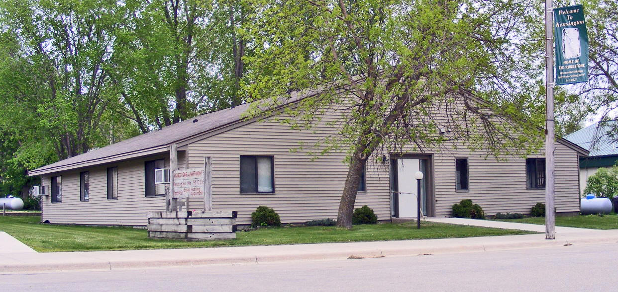
| Runestone Apartments 20 Grand Avenue N Kensington, MN 56343 Phone: (320) 965-7335 |
 |
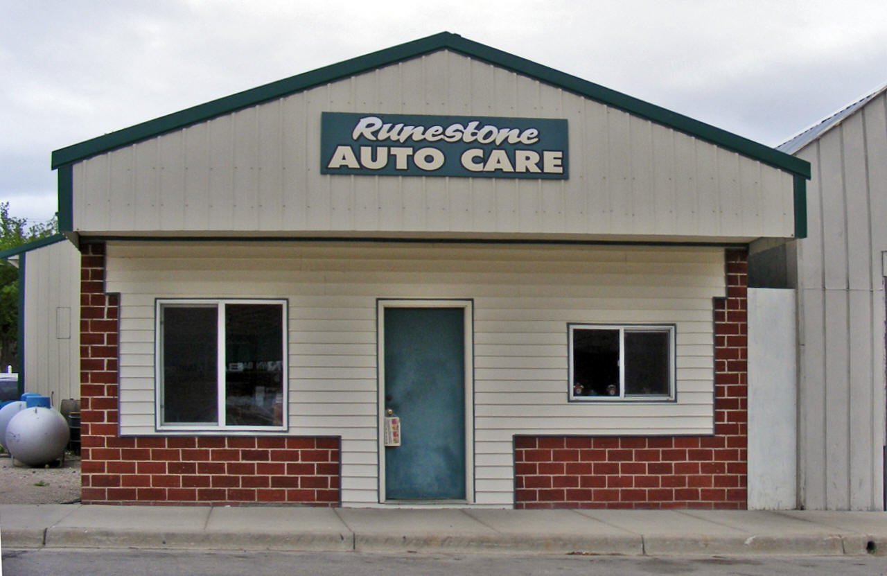
| Runestone Auto Care 18 Central Avenue N Kensington, MN 56343 Phone: (320) 965-2600 |
 |
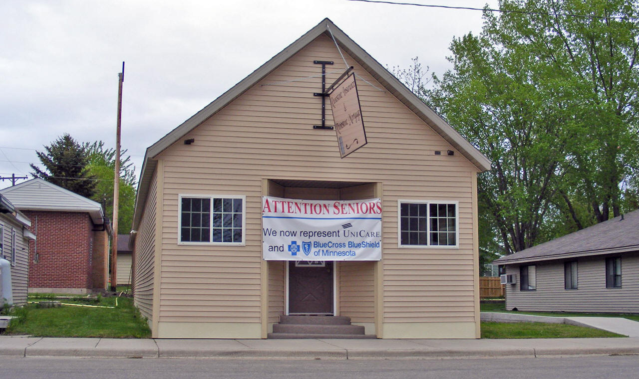
| Runestone Insurance 26 Central Avenue N Kensington, MN 56343 Phone: (320) 965-6254 |
 |
| Runestone Manufacturing 118 Railway Street Kensington, MN 56343 Phone: (320) 965-2242 |
|
| Runestone Mortgage 26 Central Avenue N Kensington, MN 56343 Phone: (320) 965-6254 |
|
| Runestone Park Barn 8755 County Road 103 SW Kensington, MN 56343 Phone: (320) 965-9340 |
|
| Solem Lutheran Church 9159 County Road 1 SW Kensington, MN 56343 Phone: (320) 965-2523 |
|
| Sonny's Limousine 16319 Cart Trail SW Kensington, MN 56343 Phone: (320) 965-2310 |
|
| South Elementary School 31 Central Avenue N Kensington, MN 56343 Phone: (320) 965-2724 |
|
| Spillman Gravel 12 Douglas Street E Kensington, MN 56343 Phone: (320) 965-2794 |
|
| Studio 22 Hair Salon 22 Central Avenue N Kensington, MN 56343 Phone: (320) 965-6263 |
|
| Tip Top Tree Service 7410 County Road 1 SW Kensington, MN 56343 Phone: (320) 815-6634 |
|
| Tower Street Day Care 15 Tower Street Kensington, MN 56343 Phone: (320) 965-2714 |
|
| Tri County Process Service 16688 County Road 96 SW Kensington, MN 56343 Phone: (320) 965-2646 |
|
|
US Post Office 17 Central Avenue N Kensington, MN 56343-4400 Phone: (320) 965-2765 Toll Free: (800) ASK-USPS Web: www.usps.com |
|
| Valley Pines Machine & Fab 14976 County Road 107 SW Kensington, MN 56343 Phone: (320) 524-2046 |
|
| VSJ Machine 14355 State Highway 27 W Kensington, MN 56343 Phone: (320) 283-6020 |
|
| Western Consolidated Co-Op 10 Viking Drive Kensington, MN 56343 Phone: (320) 965-2688 |
|
| Wholesale Bannerz 14 Central Avenue N Kensington, MN 56343 Phone: (320) 965-6232 |
|
|
|
|
© 2004-2025 LakesnWoods LLC All Rights Reserved |
|
|
|
||