|
|
|
|
|
|
Navigation LakesnWoods.com
© 2004-2024 DCMA, Defamation, Copyright and Trademark Infingement Policy
|
|
||||||||||||||||||||||||||||||||||||||||||||||||||||||||||||||||||||||||||||||||||||||||||||||||||||||||||||||||||||||||||||||||||||||||||||||||||||||||||||||||||||||||||||||||||||||||||||||||||||||||||||||||||||||||||||||||||||||||||
|
|
 |
| Columbia Heights (city) | 1970 | 1980 | 1990 | 2000 | 2010 | 2000-2010 Change | |
|---|---|---|---|---|---|---|---|
| Actual | Percent | ||||||
| Population | 23,997 | 20,029 | 18,910 | 18,520 | 19,496 | +976 | +5.27 |
| Land Area (sq. mile) | 3.50 | 3.55 | 3.45 | 3.45 | 3.41 | -0.04 | -1.16 |
| Density (persons per sq. mile) | 6,856.29 | 5,641.97 | 5,481.16 | 5,368.75 | 5717.30 | +348.55 | +6.49 |
| Housing Units | 6,977 | 7,463 | 7,975 | 8,151 | 8,584 | +433 | +5.31 |
| Households | -- | 7,343 | 7,766 | 8,033 | 7,926 | -107 | -1.33 |
| Persons Per Household | -- | 2.71 | 2.42 | 2.29 | 2.44 | +0.15 | +6.55 |
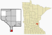
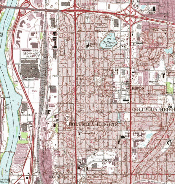
Columbia Heights is a city in Anoka County, Minnesota.
Minnesota State Highways 47 (University Avenue) and 65 (Central Avenue)
are two of the main arterial routes in the city. According to the United
States Census Bureau, the city has a total area of 3.52 square miles
(9.12 km2), of which, 3.41 square miles (8.83 km2) is land and 0.11
square miles (0.28 km2) is water. The elevation is 922 ft (281 m).
Columbia Heights is bordered by the city of Fridley to the north and
west; New Brighton and Saint Anthony to the east; and Minneapolis to the
south. The city of Hilltop is entirely enclosed within the city.
Columbia Heights has a hilly terrain and features one of the highest
points in Hennepin, Ramsey, and Anoka Counties along Stinson Boulevard
between Fairway Drive and 45th Avenue NE/County Road E. There are five
lakes in the city, which include Sullivan Lake, Highland Lake, Silver
Lake, Hart Lake, and LaBelle Pond.
From Wikipedia, the free encyclopedia.
As of the census of 2010, there were 19,496 people, 7,926 households, and 4,558 families residing in the city. The population density was 5,717.3 inhabitants per square mile (2,207.5/km2). There were 8,584 housing units at an average density of 2,517.3 per square mile (971.9/km2). The racial makeup of the city was 69.7% White, 13.5% African American, 1.5% Native American, 4.8% Asian, 0.1% Pacific Islander, 6.2% from other races, and 4.3% from two or more races. Hispanic or Latino of any race were 11.9% of the population.
There were 7,926 households of which 27.7% had children under the age of 18 living with them, 38.5% were married couples living together, 13.0% had a female householder with no husband present, 6.0% had a male householder with no wife present, and 42.5% were non-families. 34.5% of all households were made up of individuals and 13.4% had someone living alone who was 65 years of age or older. The average household size was 2.44 and the average family size was 3.15.
The median age in the city was 36.9 years. 22.9% of residents were under the age of 18; 8.1% were between the ages of 18 and 24; 29.2% were from 25 to 44; 24.5% were from 45 to 64; and 15.5% were 65 years of age or older. The gender makeup of the city was 48.5% male and 51.5% female.
Visit The
Minnesota History Shop! |
Columbia Heights was formed as a village on March 14, 1898 when it separated from the former Fridley Township. On July 21, 1921 the Charter of the City of Columbia Heights was adopted and the city was formed.
A Polish flag and white eagle are on the sign marking the border between Columbia Heights and Minneapolis, visible when entering Columbia Heights on Central Avenue, in celebration of the suburb's early roots as a Polish–American community. In 1991, Columbia Heights joined Sister Cities International and selected Łomianki, Poland as its Sister City. In 1944, a plane of Allied flyers was shot down during the Warsaw uprising, near Łomianki. The brother of a long time Columbia Heights resident was on that mission. In 1987, the people of Łomianki erected a monument in memory of the American flyers who lost their lives. Because of this personal connection Łomianki was selected as the Sister City.
Abraham Lincoln's funeral car was bought by Thomas Lowry who restored it and featured it at a number of exhibitions throughout the country. When not in use, it was stored in Columbia Heights but was destroyed by a fire on March 18, 1911.
In 2016, Columbia Heights was honored with the All-American City Award according to the National Civic League.
From Wikipedia, the free encyclopedia.
Courtesy Minnesota Historical Society
|
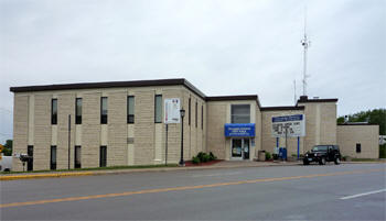
Columbia Heights City Hall 590 40th Avenue NE Columbia Heights, MN 55421 Phone: (763) 706-3600 Fax: (763) 706-3601 Hours: Monday - Friday 8:00 am - 4:00 pm City Council Meetings: 2nd and 4th Monday of the month 

 
 |
 |
|||
| Title |
Term Ends |
Name & Address | Phone | |
| Mayor | 12/31/2022 |
Amáda Márquez Simula 1700 49th Avenue NE |
|
(763)
706-3607 (612) 314-9776 |
| City Manager | appointed | Walter R. Fehst |
|
(763) 706-3606 |
| Council Member | 12/31/2022 | John Murzyn, Jr. 4323 7th Street NE |
|
(763) 781-4983 |
| Council Member | 12/31/2022 | Nick Novitsky 5216 5th Street NE |
|
(612) 760-4463 |
| Council Member | 12/31/2024 | Kay "KT" Jacobs 4104 Monroe Street NE |
|
(612) 810-0512 |
| Council Member | 12/31/2024 | Connie Buesgens 1021 44th Avenue NE |
|
(763) 222-5232 (763) 788-5072 |
|
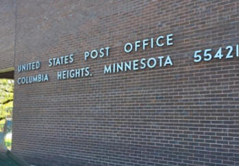
US Post Office 940 44th Avenue NE Columbia Heights, MN 55421-9998 Phone: (763) 781-3166 Toll Free: (800) ASK-USPS
Regular Business Hours: |
 |
| Utility Type | Utility Name | Utility Phone |
| Electricity | Xcel Energy | (612) 372-4727 |
| Natural Gas | CenterPoint Energy | (800) 245-2377 |
| Wastewater | City of Columbia Heights | (763) 706-3700 |
| Water | City of Columbia Heights | (763) 706-3700 |
| Telephone | CenturyLink Communications | (800) 244-1111 |
| Cable TV | Comcast/Xfinity | (651) 483-9999 |
| Employer | Products/Services | Employees |
|
n/a |
||
|
|
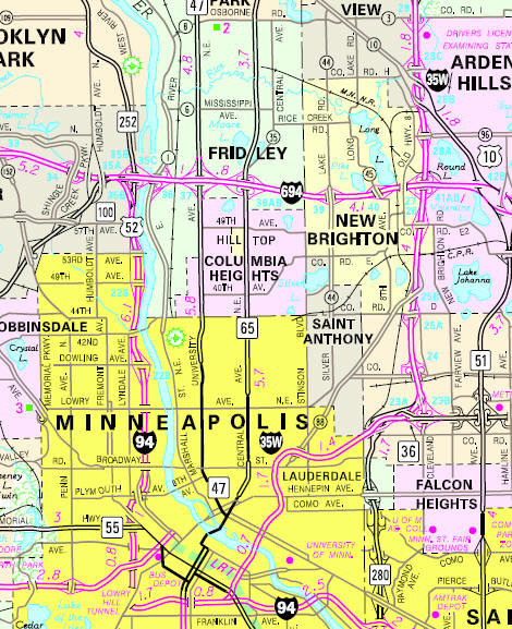
Minnesota State
Highway Map of the Columbia Heights Minnesota area
Check Out
The Minnesota
History Shop! Good Goods and
Great Gifts! |
| Lake Name | Size (acres) |
Lake info | Lake Map | Rec Map | Topo Map |
|---|---|---|---|---|---|
| Hart | 7 |
|
|
||
| Highland | n/a | ||||
| Labelle Pond | n/a | ||||
| Sandy | 18 |
|
|
||
| Silver | 70 |
|
|
|
|
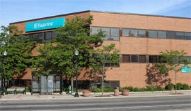
M Health Fairview Clinic Columbia Heights 4000 Central Avenue NE Columbia Heights, MN 55421 Phone: (763) 782-8183 M Health Fairview Clinic - Columbia Heights provides care for your entire family. Our same-day appointments and extended hours make it easy to get the treatment you need. We have a variety of specialty care services on-site, including pediatrics and internal medicine. And if you need a prescription, our on-site pharmacy will make sure you have what you need to get better.
|
 |
|
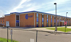
Columbia Heights
Schools Independent School District #13 1440 49th Avenue NE Columbia Heights, MN 55421 Phone: (763) 528-4500 Grades: PK-12 Students: 3,200


|
 |
|
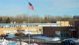
Columbia Heights High School 1400 49th Avenue NE Columbia Heights, MN 55421 Phone: (763) 528-4600 Grades: 9-12 Students: 950
|
 |
|
Columbia Academy 900 49th Avenue NE Columbia Heights, MN 55421 Phone: (763) 528-4700 Grades: 6-8 Students: 700
|
 |
|
Highland Elementary School 1500 49th Avenue NE Columbia Heights, MN 55421 Phone: (763) 528-4400 Grades: PK-5 Students: 550
|
|
|
North
Park Elementary School 5575 Fillmore Street NE Columbia Heights, MN 55421 Phone: (763) 528-4300 Grades: PK-5 Students: 550
|
|
|
Valley
View Elementary School 800 49th Avenue NE Columbia Heights, MN 55421 Phone: (763) 528-4200 Grades: K-5 Students: 550
|
|
|
Immaculate
Conception School (Catholic) 4030 Jackson Street NE Columbia Heights, MN 55421 Phone: (763) 788-9065 Grades: K-8 Students: 150
|
|
ChristLife
Evangelical Church 4555 University Avenue NE Columbia Heights, MN 55421 Phone: (763) 571-5433 Pastor: Jeremy Kochendorfer Sunday Service: 10:30 am
|
 |
| Church
of all Nations - Presbyterian 4301 Benjamin Street NE Columbia Heights, MN 55421 Phone: (763) 503-2600 Pastor: Jin S. Kim Sunday Service: 10:00 am
|
 |
|
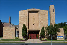
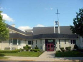
Church of the
Immaculate Conception 4030 Jackson Street NE Columbia Heights, MN 55421 Phone: (763) 788-9062 Pastor: Fr. James Peterson Sunday Service: 8:00 am, 10:00 am, 11:30 am (Spanish)
|
 |
|
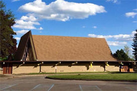
Community
United Methodist Church 950 Gould Avenue NE Columbia Heights, MN 55421 Phone: (763) 788-9009 Pastor: Linda McCollough Sunday Service: 10:00 am
|
 |
| Elevate
Church 950 Gould Avenue NE Columbia Heights, MN 55421 Phone: (612) 584-1804 Pastor: Hang Lee Sunday Service: 1:30 pm
|
 |
|
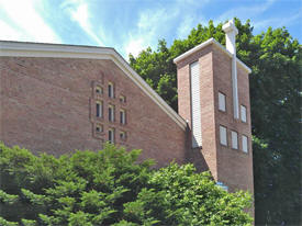
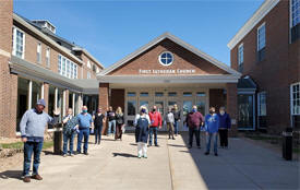
First Lutheran Church -
ELCA 1555 40th Avenue NE Columbia Heights, MN 55421 Phone: (763) 788-9653 Pastor: Bonnie Wilcox Sunday Service: 10:00 am
|
 |
|
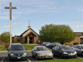
Greater Life Church 4000 Quincy Street NE Columbia Heights, MN 55421 Phone: (763) 789-8710 Pastor: Nathan Kirk Sunday Service: 10:00 am, 6:00 pm
|
 |
|
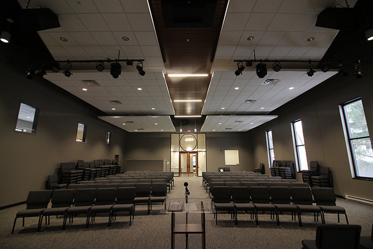
Heights Church 560 40th Avenue NE Columbia Heights, MN 55421 Phone: (763) 788-3822 Pastor: Matt Hinton Sunday Service: 10:00 am
|
 |
|
Minnesota
Family Church 3836 Stinson Blvd. NE Columbia Heights, MN 55421 Phone: (612) 216-1174 Pastor: Brian (Hyungtae) Ha Sunday Service: 10:00 am
|
 |
|
Oak Hill Baptist
Church 4555 University Avenue NE Columbia Heights, MN 55421 Phone: (763) 789-4337 Pastor: Rev. Dave Briley Saturday Worship: 5:00 pm Sunday Service: none
|
|
|
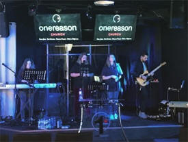
One Reason Church 2305 37th Avenue NE Columbia Heights, MN 55421 Phone: (612) 532-5202 Pastor: Jose Perez Sunday Service: 10:00 am
|
 |
|
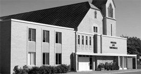
Saint Matthew Lutheran Church - LCMS 4101 Washington Street NE Columbia Heights, MN 55421 Phone: (763) 788-9427 Pastor: Bill Hugo Sunday Service: 10:45 am
|
 |
|
Saint Timothy's Lutheran Church - ELCA 825 51st Avenue NE Columbia Heights, MN 55421 Phone: (763) 571-9721 Pastor: Michelene Verlautz Sunday Service: 9:30 am

|
 |
|
Anoka County Union Herald 4095 Coon Rapids Blvd. Coon Rapids, MN 55421 Phone: (763) 412-2400
|
 |
|
Northeaster
Newspaper 2844 Johnson Street NE Minneapolis, MN 55418 Phone: (612) 788-9003 The Northeaster, the every-home-delivered community newspaper for Northeast Minneapolis, St. Anthony, Columbia Heights and Hilltop. Our Mission: Finding out stuff and putting it in the paper since 1978, and now also online.
|
 |
|
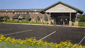
LivINN Minneapolis North/Fridley 5201 Central Avenue NE Fridley, MN 55421 Phone: (763) 571-9440 Set in the heart of the Twin Cities, LivINN Hotel Minneapolis North/Fridley is a welcoming haven for travelers near downtown Minneapolis. Embrace home-life comforts in large rooms and suites with HDTVs, granite kitchens, maple furnishings, whirlpool tubs, and spa-style steam showers. Greet every day with a hot breakfast buffet served in our peaceful garden court atrium. Relax under the gazebo or recline beneath the skylights and trees in a park-like setting. Recharge in our fitness center Tie up corporate projects in our business center and gather in our well-designed meeting space.


|
 |
|
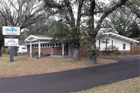
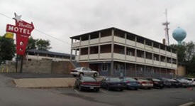
Starlite Motel
4720 Central Avenue NE Hilltop, MN 55421 Phone: (763) 571-8656 The Starlite Motel features 38 spacious and clean rooms for overnight lodging near Columbia Heights, MN. Our 2-story exterior design motel is located in 1 mile south of I-694 and just north of Minneapolis, with many restaurants nearby within walking distance. Whether you're traveling for business or pleasure, the Starlite Motel has daily and extended stay rates to fit your needs.
|
 |
|
none |
|
none |
|
|
|
|
|
|
|
|
© 2004-2024 LakesnWoods LLC All Rights Reserved |
|
|
|
||